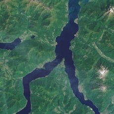
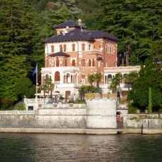
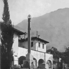
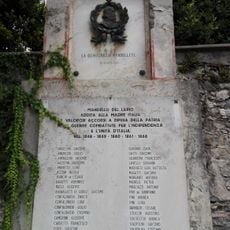
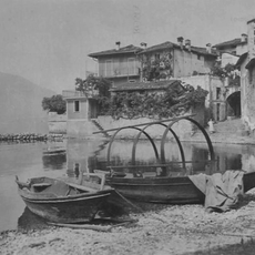
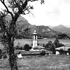
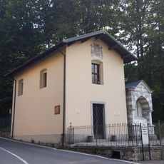
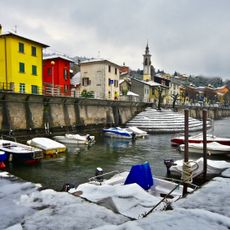
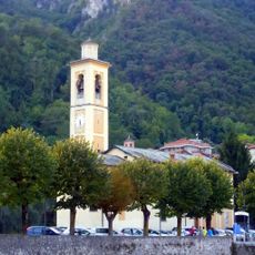
Oliveto Lario, Italian comune
Location: Province of Lecco
Inception: 1927
Elevation above the sea: 208 m
Shares border with: Abbadia Lariana, Barni, Civenna, Lierna, Mandello del Lario, Valbrona, Bellagio, Lasnigo, Magreglio, Varenna
Website: http://comune.olivetolario.lc.it
GPS coordinates: 45.95000,9.26667
Latest update: March 14, 2025 08:09
Arm of Lecco
3.6 km
Madonna del Ghisallo
2.9 km
Villa Aurelia
3 km
Lierna Castle
3.2 km
Museo del Ciclismo Madonna del Ghisallo
2.9 km
Santi Maurizio e Lazzaro
3.2 km
Museo Del Ciclismo
2.9 km
Chiesa dei Santi Pietro e Paolo
4.6 km
Santuario della Beata Vergine del Fiume
5.5 km
Lighthouse of Lierna
2.9 km
Targa ai cadutti
5.6 km
Riva Nera beach
3.2 km
Bell tower of Sant'Ambrogio Church Lierna
3 km
Monument to Carlo Guzzi
5.5 km
Monument to motorcycle casualties
1.3 km
Cemetery of Olcio
3.8 km
Palazzo municipale
5.5 km
Beata Vergine Addolorata
717 m
Monte Oriolo
6.1 km
Pier of Olcio
3.8 km
Monumento agli Alpini
1.3 km
War Memorial of Mandello
5.6 km
Funtana granda
1.6 km
Laundry trough of Via Olivella
1.6 km
Chiesa dei SS Nazaro e Celso Vassena
2.6 km
Lavoir of via Cermenati - lower
1.6 km
Monte Colla
5.8 km
Lavoir of via Cermenati - upper
1.6 kmReviews
Visited this place? Tap the stars to rate it and share your experience / photos with the community! Try now! You can cancel it anytime.
Discover hidden gems everywhere you go!
From secret cafés to breathtaking viewpoints, skip the crowded tourist spots and find places that match your style. Our app makes it easy with voice search, smart filtering, route optimization, and insider tips from travelers worldwide. Download now for the complete mobile experience.
A unique approach to discovering new places❞
— Le Figaro
All the places worth exploring❞
— France Info
A tailor-made excursion in just a few clicks❞
— 20 Minutes