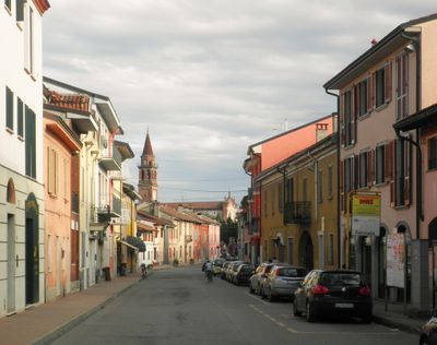
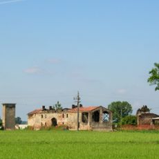
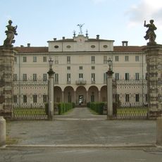
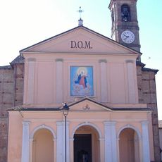
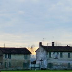
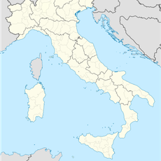
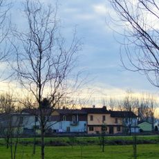
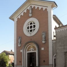
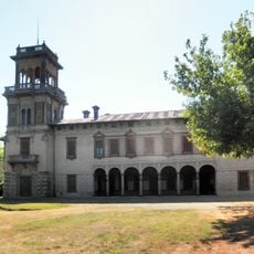
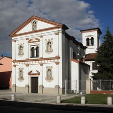
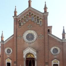
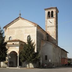
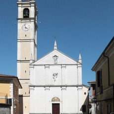
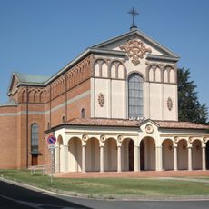
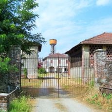
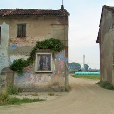
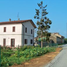
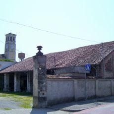
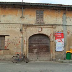
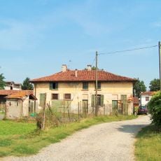
Ospedaletto Lodigiano, Italian comune
Location: Province of Lodi
Capital city: Ospedaletto Lodigiano
Elevation above the sea: 64 m
Shares border with: Brembio, Casalpusterlengo, Orio Litta, Senna Lodigiana, Somaglia, Livraga
Website: https://comune.ospedalettolodigiano.lo.it
GPS coordinates: 45.16972,9.57972
Latest update: March 3, 2025 19:27
Cascina Cà del Bosco
4.1 km
Villa Litta Carini
2.4 km
Santi Pietro e Paolo Church
592 m
Assunzione della Beata Vergine Maria Church
5.3 km
Santa Maria in Galilea Church
2.2 km
Cascina Lovera
4.1 km
Cascina Sant’Isidoro
5.1 km
Cascina San Maurizio
4.9 km
Cascina Loverola
4.4 km
Santi Pietro e Andrea Apostoli Church
4.3 km
Villa Biancardi
4.5 km
San Martino Vescovo Church
3.8 km
San Bassiano Church
3.6 km
San Germano Vescovo Church
2.6 km
Palazzo Andreani
5 km
Sant’Andrea Church
4.6 km
San Rocco Church
3.2 km
Santi Nazario e Celso church
4.6 km
San Bernardino Church
3.3 km
Arco della Pace
576 m
Cascina Castello
5.1 km
Natività della Beata Vergine Maria church
5 km
Cascina Morona
4.9 km
Cascina San Giovanni
3.8 km
Cascina Crocetta
4.3 km
Cascina di Via Monte Grappa
5 km
Cascina Eustacca
5.1 km
Scuole rurali
2.5 kmReviews
Visited this place? Tap the stars to rate it and share your experience / photos with the community! Try now! You can cancel it anytime.
Discover hidden gems everywhere you go!
From secret cafés to breathtaking viewpoints, skip the crowded tourist spots and find places that match your style. Our app makes it easy with voice search, smart filtering, route optimization, and insider tips from travelers worldwide. Download now for the complete mobile experience.
A unique approach to discovering new places❞
— Le Figaro
All the places worth exploring❞
— France Info
A tailor-made excursion in just a few clicks❞
— 20 Minutes