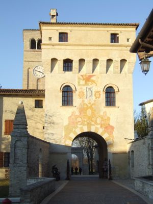
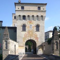
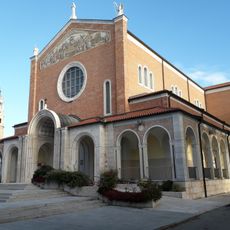
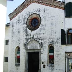
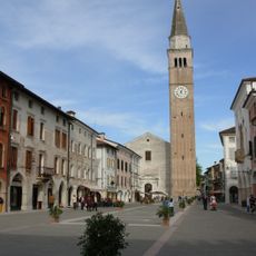
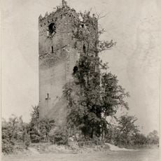
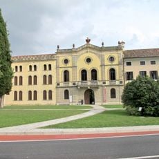
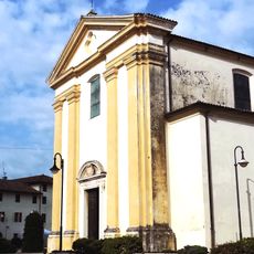
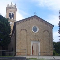
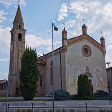
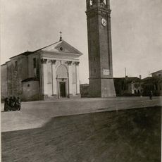
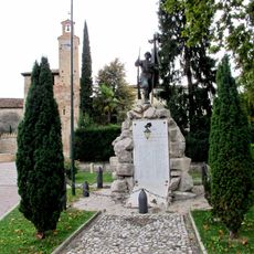
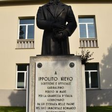
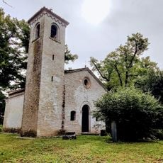
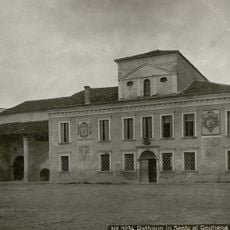
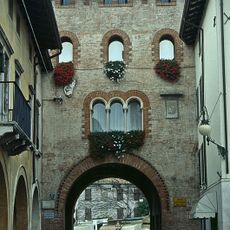
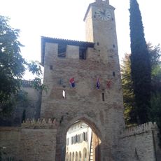
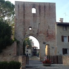
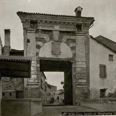
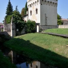
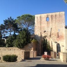
Sesto al Reghena, Italian comune
Location: ente di decentramento regionale di Pordenone
Capital city: Sesto al Reghena
Elevation above the sea: 13 m
Shares border with: Chions, Cinto Caomaggiore, Cordovado, Gruaro, Morsano al Tagliamento, San Vito al Tagliamento
Website: https://comune.sesto-al-reghena.pn.it/hh
GPS coordinates: 45.85000,12.81667
Latest update: March 5, 2025 02:12
Abbey of Santa Maria in Sylvis
208 m
Art Aia-Creatives / In / Residence
2.5 km
Santuario della Madonna di Rosa e Gesù Misericordioso
8.8 km
Santa Maria dei Battuti
7.9 km
Cathedral of San Vito al Tagliamento
7.9 km
Chiesa di San Biagio
3.6 km
Castle of Torrate
4.3 km
Cecchini palace
5.1 km
San Martino Vescovo
8.8 km
Chiesa di Santa Maria della Purificazione
5.6 km
San Giusto
2.8 km
Chiesa di San Giorgio
6.6 km
Chiesa di Santo Stefano
9.9 km
Cortino del Castello di Fratta
8.1 km
Cordovado town hall
5.1 km
Chiesa di San Pietro
2.9 km
Provincial Museum of Rural Life Diogene Penzi
7.7 km
War memorial
5 km
Monument to Ippolito Nievo
4.9 km
Chiesa di Santa Cristina
7.5 km
Town hall of Sesto al Reghena
209 m
Torre Raimonda
7.8 km
Torre portaia Nord
5 km
City walls of Cordovado
5 km
Casa canonica
185 m
Torre Porta Seconda
365 m
Torre Grimani
237 m
South tower castle
5.1 kmReviews
Visited this place? Tap the stars to rate it and share your experience / photos with the community! Try now! You can cancel it anytime.
Discover hidden gems everywhere you go!
From secret cafés to breathtaking viewpoints, skip the crowded tourist spots and find places that match your style. Our app makes it easy with voice search, smart filtering, route optimization, and insider tips from travelers worldwide. Download now for the complete mobile experience.
A unique approach to discovering new places❞
— Le Figaro
All the places worth exploring❞
— France Info
A tailor-made excursion in just a few clicks❞
— 20 Minutes