
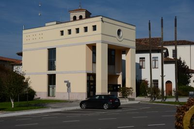
Zoppola, Italian comune
Location: ente di decentramento regionale di Pordenone
Capital city: Zoppola
Elevation above the sea: 36 m
Shares border with: Casarsa della Delizia, Cordenons, Fiume Veneto, Pordenone, San Giorgio della Richinvelda, Valvasone Arzene
Website: http://comune.zoppola.pn.it
GPS coordinates: 45.96667,12.76667
Latest update: March 11, 2025 07:39
Duomo di Pordenone
8.3 km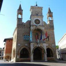
Palazzo Comunale
8.4 km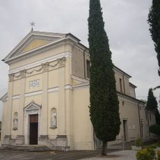
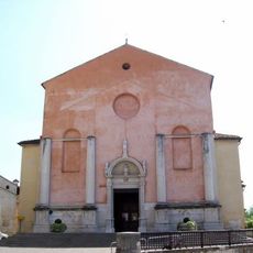
Santi Ilario e Taziano
6.6 km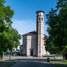
Santissima Trinità
8.2 km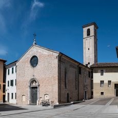
Church of Christ
8.3 km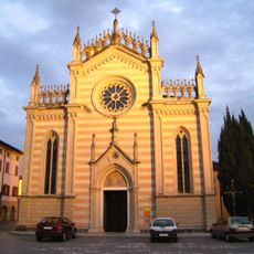
Chiesa del Santissimo Corpo di Cristo
8.1 km
Villa Galvani
7.9 km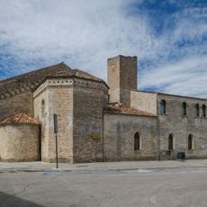
Former convent of Saint Francis
8.2 km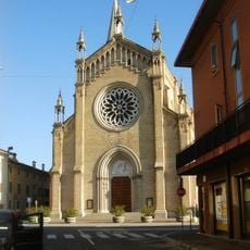
San Giovanni Battista Church
6.1 km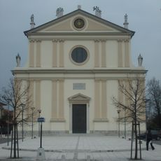
Duomo di Santa Maria Maggiore
5.3 km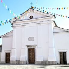
San Quirino
10.3 km
Biblioteca del Seminario Diocesano di Pordenone
7 km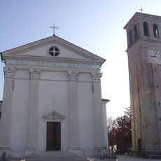
Chiesa di San Martino
406 m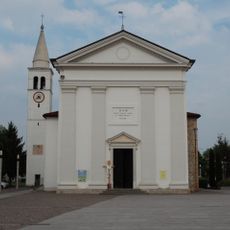
Chiesa di San Nicolò Vescovo
5 km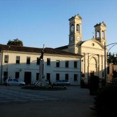
Santa Croce e Beata Vergine del Rosario Church
6 km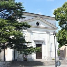
San Martino Vescovo Church
9.6 km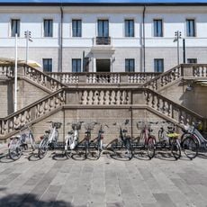
Convent of the Dominicans
8.3 km
Biotopo magredi di San Quirino
8.1 km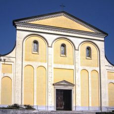
San Michele Arcangelo Church
7.2 km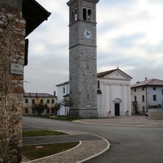
San Lorenzo
3.7 km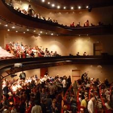
Teatro Verdi
8.2 km
Science Center Scientific Imaginary Pordenone
6.4 km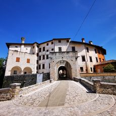
Castle in Valvasone
8.3 km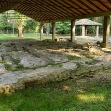
Archaeological area Roman Villa di Torre
6.4 km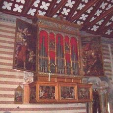
Organo del duomo di Valvasone
8.3 km
Parco Galvani
7.9 km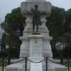
Monumento ai caduti di Cordenons
5.2 km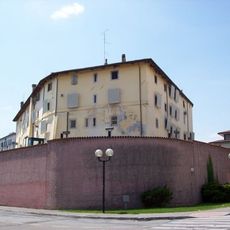
Castle
8.1 kmVisited this place? Tap the stars to rate it and share your experience / photos with the community! Try now! You can cancel it anytime.
Discover hidden gems everywhere you go!
From secret cafés to breathtaking viewpoints, skip the crowded tourist spots and find places that match your style. Our app makes it easy with voice search, smart filtering, route optimization, and insider tips from travelers worldwide. Download now for the complete mobile experience.

A unique approach to discovering new places❞
— Le Figaro
All the places worth exploring❞
— France Info
A tailor-made excursion in just a few clicks❞
— 20 Minutes