
Fabbrica Curone, municipality in Italy
Location: Province of Alessandria
Elevation above the sea: 440 m
Shares border with: Albera Ligure, Cabella Ligure, Gremiasco, Montacuto, Santa Margherita di Staffora, Varzi, Zerba
Website: http://comune.fabbricacurone.al.it
GPS coordinates: 44.75528,9.15500
Latest update: March 20, 2025 13:25

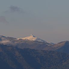
Monte Lesima
11.8 km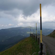
Monte Chiappo
8.5 km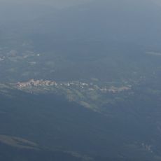
Passo del Brallo
10.4 km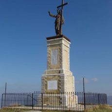
Monte Giarolo
3.8 km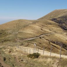
Monte Ebro
7.2 km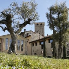
Malaspina Castle
8.3 km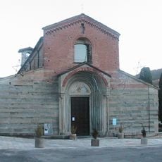
Cappuccini Church
8.1 km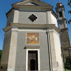
Natività di Maria Vergine Church
6.3 km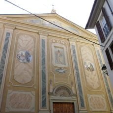
San Germano Church
8.2 km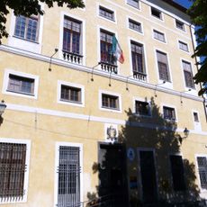
Museo della Resistenza e della vita sociale
9.9 km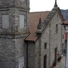
Chiesa di San Policarpo
11.7 km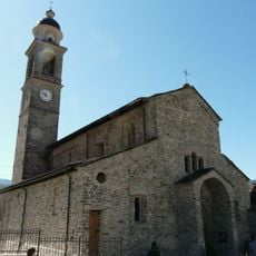
Pieve di Santa Maria Assunta
3 km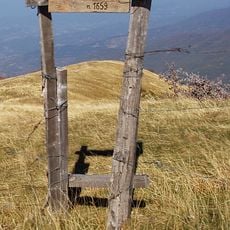
Monte Cosfrone
6.6 km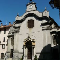
San Sebastiano Church
7.9 km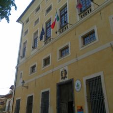
Palazzo Spinola
9.9 km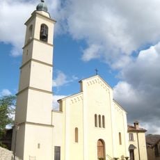
San Bartolomeo Apostolo Church
8.4 km
Santa Caterina Church
9.6 km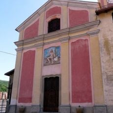
San Giovanni Battista Church
9.2 km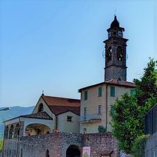
San Giorgio Martire Church
10.8 km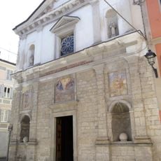
Rossi Church
8.2 km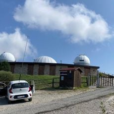
Planetario e Osservatorio Astronomico Cà del Monte
8.9 km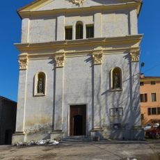
Sant'Antonio Abate Church
9.9 km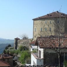
Castle of Borgo Adorno
5.1 km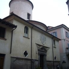
Bianchi Oratory
8.2 km
Malaspina Castle
6.1 km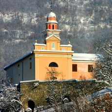
Nostra Signora di Dovanelli
11.1 km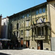
Town hall of San Sebastiano Curone
7.9 km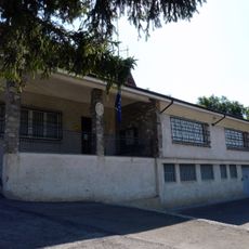
Town hall of Albera Ligure
9.1 kmReviews
Visited this place? Tap the stars to rate it and share your experience / photos with the community! Try now! You can cancel it anytime.
Discover hidden gems everywhere you go!
From secret cafés to breathtaking viewpoints, skip the crowded tourist spots and find places that match your style. Our app makes it easy with voice search, smart filtering, route optimization, and insider tips from travelers worldwide. Download now for the complete mobile experience.

A unique approach to discovering new places❞
— Le Figaro
All the places worth exploring❞
— France Info
A tailor-made excursion in just a few clicks❞
— 20 Minutes