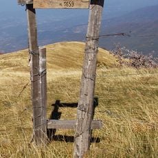
Monte Lesima, Mountain summit in northern Lombardy, Italy
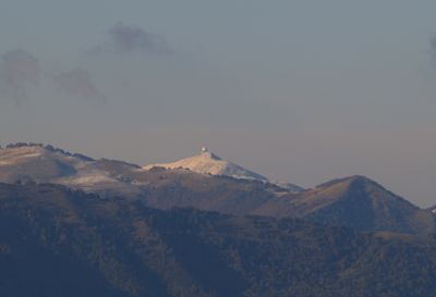
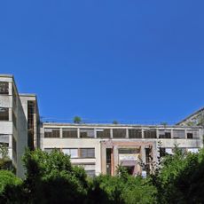
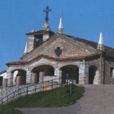
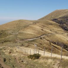
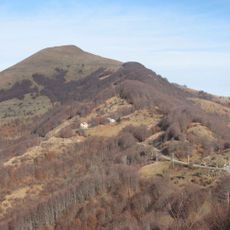
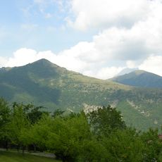
Monte Lesima is a mountain rising 1,724 meters at the border between Lombardy and Emilia-Romagna, featuring limestone rock formations and a radar installation. Multiple marked trails access the summit, with the main route beginning from Brallo Pass through the Prodongo plains.
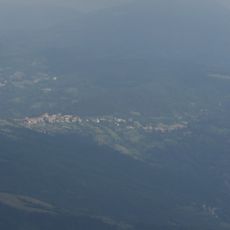
Trade routes and pathways across the mountain connected communities between Lombardy and Emilia-Romagna for many centuries. These ancient connections shaped how the region developed and continues to be used.
The mountain serves as a gathering point where hiking groups from nearby communities regularly explore the landscape together. Local mountaineers maintain and use the established paths as part of their connection to the region.
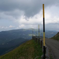
The mountain is relatively accessible from the surrounding area, with trails suitable for different ability levels. Bring sturdy footwear and weather-resistant clothing, as conditions at higher elevations change quickly.
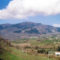
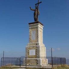
From the summit you can see both the Staffora and Trebbia valleys at once, standing where three distinct Italian geographical areas meet. This position offers a rare viewpoint for understanding the region's landscape layout.
The community of curious travelers
AroundUs brings together thousands of curated places, local tips, and hidden gems, enriched daily by 60,000 contributors worldwide.