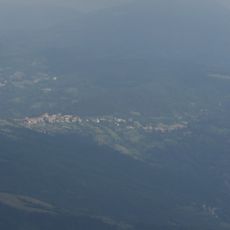
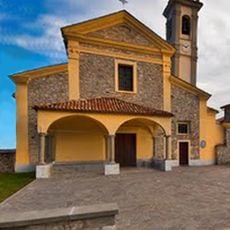
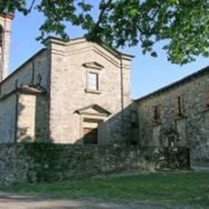
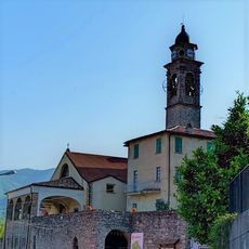
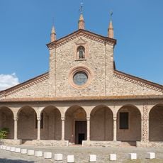
Monte Penice, Mountain summit in Lombardy, Italy
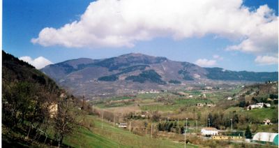
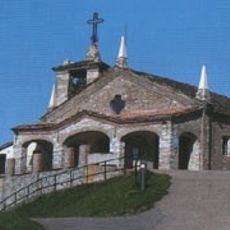
Monte Penice is a mountain summit in the Ligurian Apennines located on the border between Lombardy and Emilia-Romagna. The peak stands at 1,460 meters and can be reached via several marked trails from different directions.
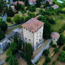
The mountain served as a natural boundary marker between administrative regions of northern Italy for centuries. This geographical role shaped its significance in the area's territorial development.
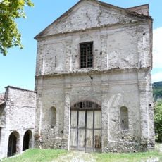
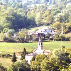
Traditional pastoral farming shapes the slopes around the mountain, with grazing lands that have been worked for generations. Visitors encounter old mountain huts and see how this way of life has molded the open landscape.
The trails are well marked and accessible from both sides of the mountain, offering several starting points. It is best to wear sturdy hiking boots and bring a map or GPS device, as conditions change with the seasons.
The mountain ranks as the second highest peak in Pavia province, making it a notable landmark in the regional landscape. This position draws hikers who want to walk the natural boundary between two regions.
The community of curious travelers
AroundUs brings together thousands of curated places, local tips, and hidden gems, enriched daily by 60,000 contributors worldwide.