
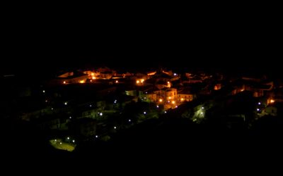
Canna, Italian comune
Location: Province of Cosenza
Elevation above the sea: 417 m
Shares border with: Montegiordano, Rocca Imperiale, Nova Siri, Nocara, Oriolo
Website: http://comune.canna.cs.it
GPS coordinates: 40.10000,16.50000
Latest update: April 1, 2025 10:01
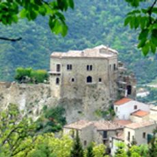
Castle of Valsinni
9 km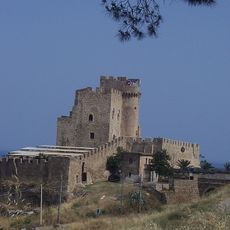
Castello della Pietra
16.5 km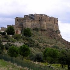
Castello Svevo of Rocca Imperiale
6.7 km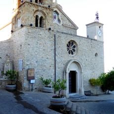
Church of Santa Maria in Cielo Assunta
6.9 km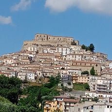
Rocca Imperiale Castle
6.6 km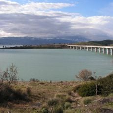
Lac du mont Cotugno
15.3 km
Immacolata Concezione
784 m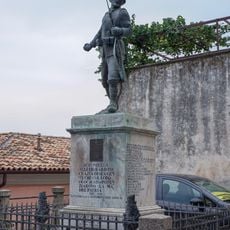
Monumento ai caduti
8.3 km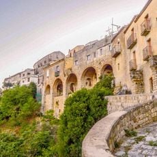
Lamie di Bitonte
8.3 km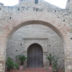
Monastero dei Francescani
9.3 km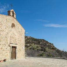
Chiesa di Santa Maria della Neve
12.2 km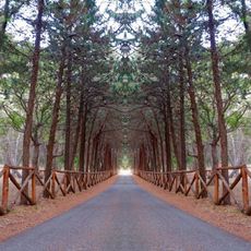
Bosco Finocchio
6 km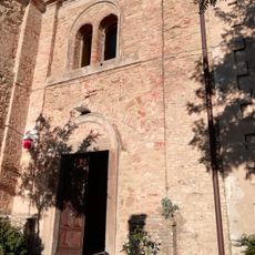
San Nicola di Bari church
11.7 km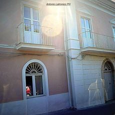
Ricciardulli palace
8.3 km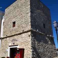
Torre Sanseverino
8.3 km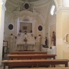
Cappella dell'Icona
11.7 km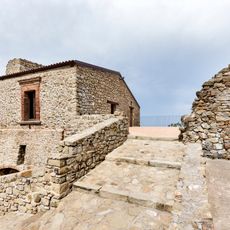
Castello Carafa
11.6 km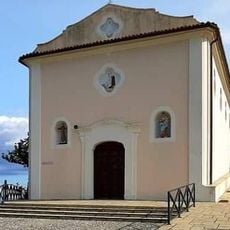
Madonna della Sulla
6.5 km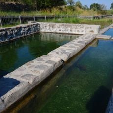
Vasche di Sant'Alessio
7.5 km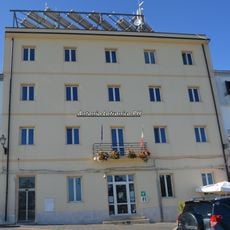
Palazzo municipale
8.3 km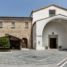
Colobraro Franciscan convent
11.8 km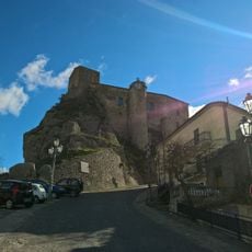
Castello
6.9 km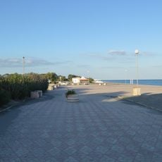
Lido Rivolta
8.9 km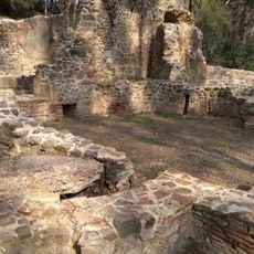
Cugno dei Vagni Roman baths
11.9 km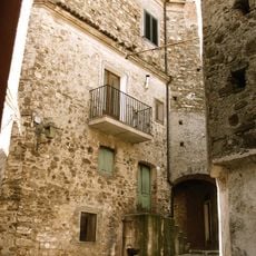
Centro storico
14.7 km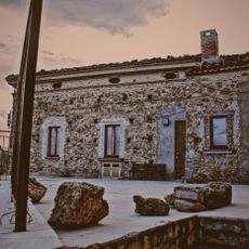
Noepoli Castle
14.9 km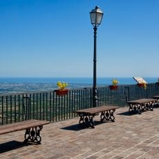
Balcone dello Jonio viepoint
8.4 km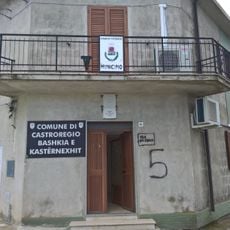
Town hall of Castroregio
12 kmVisited this place? Tap the stars to rate it and share your experience / photos with the community! Try now! You can cancel it anytime.
Discover hidden gems everywhere you go!
From secret cafés to breathtaking viewpoints, skip the crowded tourist spots and find places that match your style. Our app makes it easy with voice search, smart filtering, route optimization, and insider tips from travelers worldwide. Download now for the complete mobile experience.

A unique approach to discovering new places❞
— Le Figaro
All the places worth exploring❞
— France Info
A tailor-made excursion in just a few clicks❞
— 20 Minutes