
Ateleta, Italian comune
Location: Province of L'Aquila
Capital city: Ateleta
Elevation above the sea: 760 m
Shares border with: Gamberale, Palena, Abruzzo, Roccaraso, San Pietro Avellana, Castel del Giudice, Pescocostanzo
Website: http://comune.ateleta.aq.it
GPS coordinates: 41.85457,14.19901
Latest update: March 27, 2025 11:47


Basilica di Santa Maria del Colle
11.8 km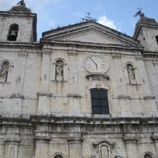
Santa Maria Assunta Cathedral
10.6 km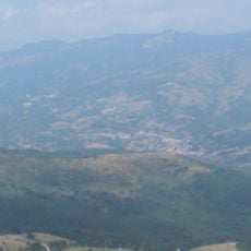
Monte Capraro
6.9 km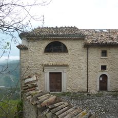
Hermitage of Madonna dell'Altare
12.1 km
Parco Avventura
11 km
Pinacoteca Patiniana
10.8 km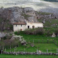
Hermitage of San Michele Arcangelo
12.9 km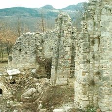
Trebula
9.6 km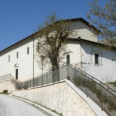
Santuario della Madonna della Portella
12.6 km
Aufidenate Civic Museum
10.9 km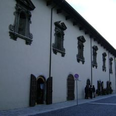
Palazzo Fanzago
11.7 km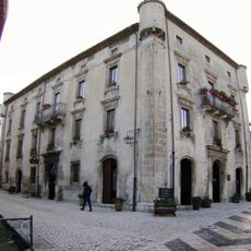
Palazzo Grilli
11.8 km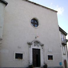
Santa Maria delle Grazie
11.9 km
Museo del merletto a tombolo
11.7 km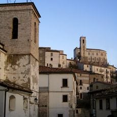
Castello di Gamberale
5.6 km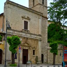
Chiesa di Gesù e Maria
11.7 km
Stanislao Kuckiewicz Museum
10.9 km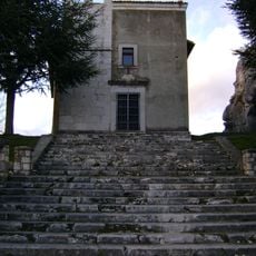
Sant'Antonio Abate
11.7 km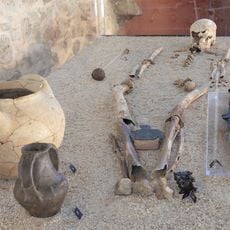
Museo civico archeologico
7.2 km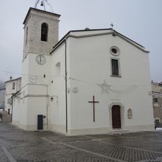
San Lorenzo Martire
5.7 km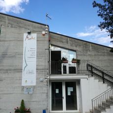
Museo Civiltà Contadina
227 m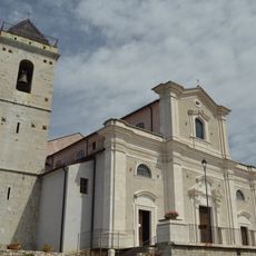
Santa Maria in Cielo Assunta
5.9 km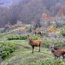
Area Faunistica del Cervo
5.1 km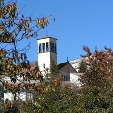
San Gioacchino
70 m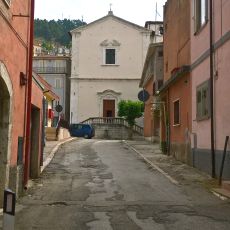
Chiesa di Orazione e Morte
10.8 km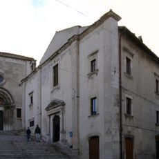
Chiesa di Santa Maria del Suffragio
11.7 km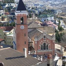
San Nicola di Bari
11.1 km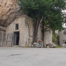
Eremo di San Luca
7.3 kmReviews
Visited this place? Tap the stars to rate it and share your experience / photos with the community! Try now! You can cancel it anytime.
Discover hidden gems everywhere you go!
From secret cafés to breathtaking viewpoints, skip the crowded tourist spots and find places that match your style. Our app makes it easy with voice search, smart filtering, route optimization, and insider tips from travelers worldwide. Download now for the complete mobile experience.

A unique approach to discovering new places❞
— Le Figaro
All the places worth exploring❞
— France Info
A tailor-made excursion in just a few clicks❞
— 20 Minutes