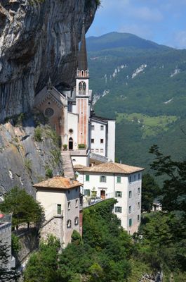
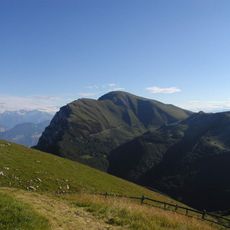
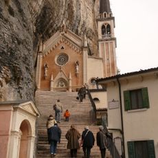
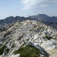
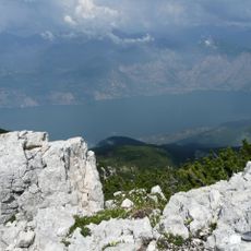
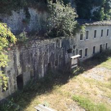
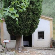
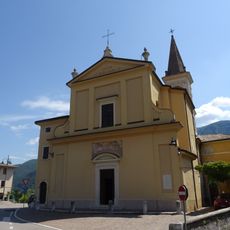
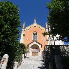
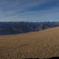
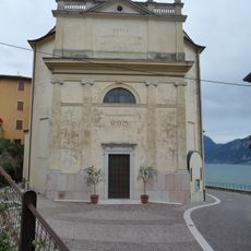
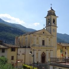
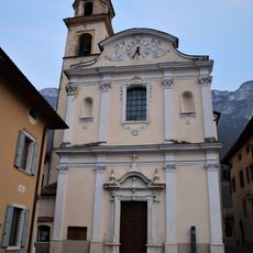
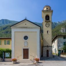
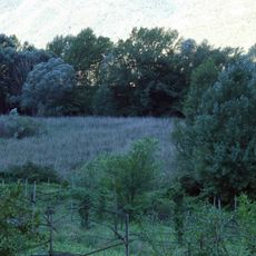
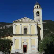
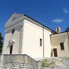
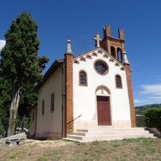
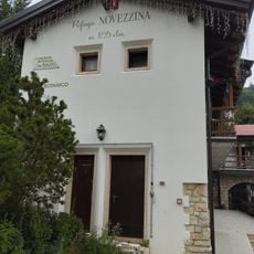
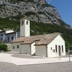
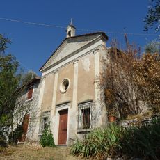
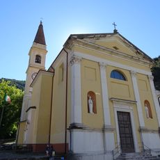
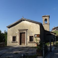
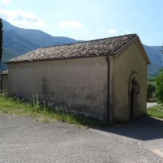
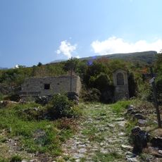
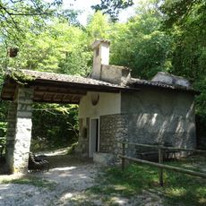
Ferrara di Monte Baldo, Italian comune
Location: Province of Verona
Elevation above the sea: 856 m
Shares border with: Brentino Belluno, Brenzone, Malcesine, San Zeno di Montagna, Avio, Caprino Veronese
Website: http://comune.ferraradimontebaldo.vr.it
GPS coordinates: 45.67361,10.86083
Latest update: March 10, 2025 22:32
Monte Baldo
6 km
Santuario Madonna della Corona
2.7 km
Cima Valdritta
6 km
Orto Botanico del Monte Baldo
2.8 km
Forte Cimo Grande
4.4 km
Saint Peter in Chains church
7.9 km
Saint James church
3.2 km
Saint Catherine church
659 m
Riserva naturale integrale Lastoni Selva Pezzi
7 km
Santa Maria Assunta church
8.1 km
Saint John the Baptist church
3.4 km
Saint Vigilius church
3.7 km
Saint Blaise church
5.9 km
Saints Valentine and Vincent Ferrer church
5.9 km
Biotopo Palù di Borghetto
5.4 km
Saint Andrew church
3.2 km
Saint Anthony of Padua church
3.3 km
Immacolata church
5.7 km
Saints Benignus and Carus hermitage
7 km
San Giovanni Battista
3 km
Rifugio Novezzina
2.8 km
Our Lady of Graces church
5.3 km
Our Lady of Peace church
8.1 km
Saints Philip and James church
3.9 km
Saint Bartholomew church
7.4 km
Saint Andrew church
2.6 km
Cà Perotti
7.7 km
Sant'Antonio delle Pontare chapel
7.5 kmReviews
Visited this place? Tap the stars to rate it and share your experience / photos with the community! Try now! You can cancel it anytime.
Discover hidden gems everywhere you go!
From secret cafés to breathtaking viewpoints, skip the crowded tourist spots and find places that match your style. Our app makes it easy with voice search, smart filtering, route optimization, and insider tips from travelers worldwide. Download now for the complete mobile experience.
A unique approach to discovering new places❞
— Le Figaro
All the places worth exploring❞
— France Info
A tailor-made excursion in just a few clicks❞
— 20 Minutes