Monte Baldo, Mountain range in Trentino and the Province of Verona, Italy
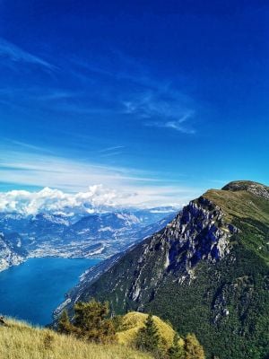
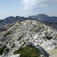
Monte Baldo is a mountain range in the Garda Prealps, not a single summit, stretching about 38–40 km from northeast to southwest between Lake Garda and the Adige valley. Its highest point, Cima Valdritta, reaches 2218 m, and the ridge includes thirteen peaks above 2000 m. The western flank drops steeply to the lake, while the eastern side slopes gently before falling sharply to the Adige.
The ridge's name appears for the first time on a map in 1163, according to Christian Schneller; the Romans knew the chain as Montis Polinus. The road climbing to about 1700 m on the main crest was built at the wish of General Andrea Graziani. The chain was long studied by botanists, and already in the 16th century it was called Hortus Italiae, the garden of Italy.
The name Baldo likely comes from the medieval German Bald (forest), first recorded on a map in 1163; the Romans called the range Montis Polinus. Botanists named it Hortus Italiae, the Garden of Italy, in the 16th century. Three plants grow only here: the Kernerische Schmuckblume, Gypsophila baldensis and Brassica baldensis.
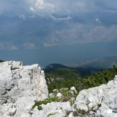
The ridge runs 38 km from north-northeast to south-southwest, with the steep west flank dropping straight to Lake Garda and the gentler east side falling toward the Adige valley. A cable car from Malcesine on the lake shore climbs the western side. The watershed between the Adige and the Po follows the crest, and the provincial border of Trento and Verona crosses the Bocca di Navene saddle at 1425 m.
During the ice ages the peaks of Monte Baldo stood out above the ice sheet as a nunatak, an isolated rock island in the glacier. This isolation let endemic plants such as Kerner's spurge-laurel, Gypsophila baldensis and Brassica baldensis evolve here and nowhere else.
The community of curious travelers
AroundUs brings together thousands of curated places, local tips, and hidden gems, enriched daily by 93,422 contributors worldwide.