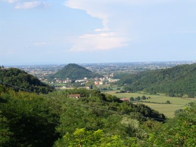
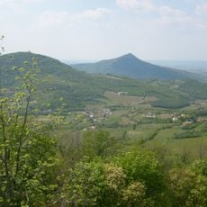
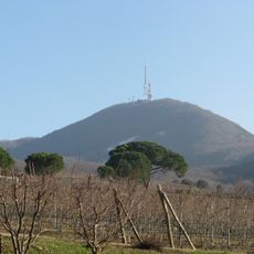
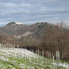
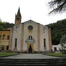
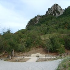
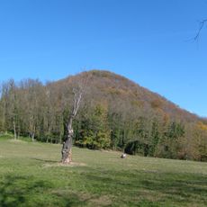
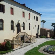
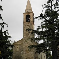
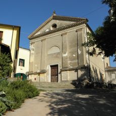
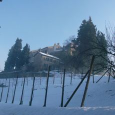
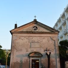
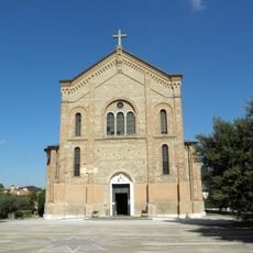
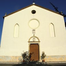
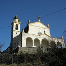
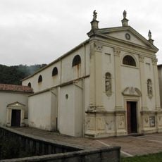
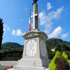
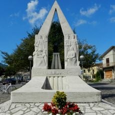
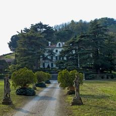
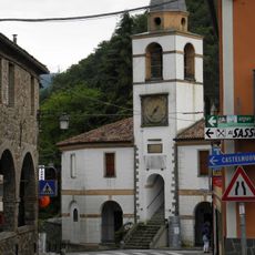
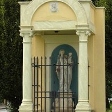
Teolo, Italian comune
Location: Province of Padua
Elevation above the sea: 175 m
Shares border with: Abano Terme, Cervarese Santa Croce, Rovolon, Saccolongo, Selvazzano Dentro, Torreglia, Galzignano Terme, Vo'
Website: https://comune.teolo.pd.it
GPS coordinates: 45.35000,11.66667
Latest update: March 9, 2025 13:27
Praglia Abbey
5.6 km
Villa dei Vescovi
3.6 km
Monte Venda
4.3 km
Parco Regionale dei Colli Euganei
5.3 km
Monte Rua
5 km
Abbazia di Santa Maria Assunta
5.6 km
Beata Vergine della Salute
7.2 km
Rocca Pendice
1.8 km
Monte Grande
1.4 km
Monastero di San Daniele in Monte
7.6 km
Santa Giustina
540 m
Museo di arte contemporanea Dino Formaggio
517 m
Santa Maria Assunta
6.5 km
Il Castelletto
5.8 km
Monastery of San Teonisto
5.6 km
Ex Oratorio del Montirone
8.7 km
Sacro Cuore di Gesù
5.1 km
San Giorgio
1.8 km
Natività della Beata Vergine Maria
3.4 km
San Giuseppe
1.9 km
Villa Bassi Rathgeb Museum
8.8 km
War memorial
3.7 km
Museo Luxardo
4.4 km
War memorial
5.2 km
Villa Bembiana
7.5 km
Palazzetto dei Vicari
478 m
Capitello della Madonnina
5.3 km
Entrance to Montirone Park
8.6 kmReviews
Visited this place? Tap the stars to rate it and share your experience / photos with the community! Try now! You can cancel it anytime.
Discover hidden gems everywhere you go!
From secret cafés to breathtaking viewpoints, skip the crowded tourist spots and find places that match your style. Our app makes it easy with voice search, smart filtering, route optimization, and insider tips from travelers worldwide. Download now for the complete mobile experience.
A unique approach to discovering new places❞
— Le Figaro
All the places worth exploring❞
— France Info
A tailor-made excursion in just a few clicks❞
— 20 Minutes