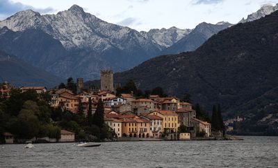
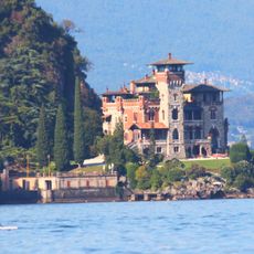
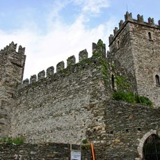
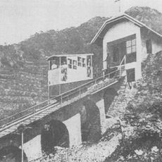
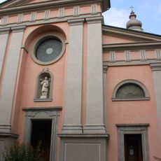
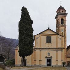
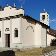
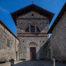
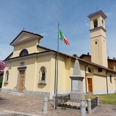
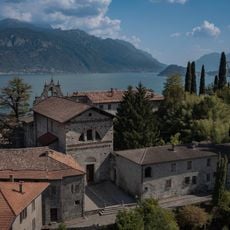
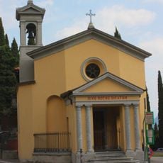
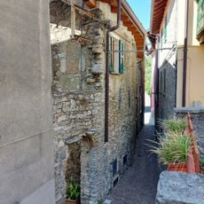
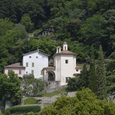
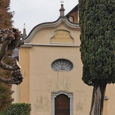
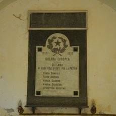
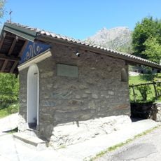
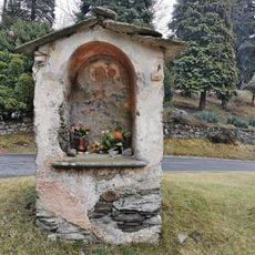
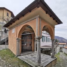
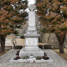
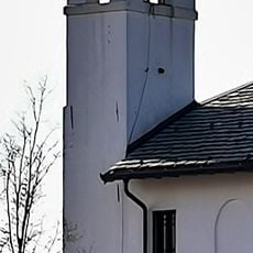
San Siro, Italian comune
Location: Province of Como
Elevation above the sea: 220 m
Website: http://www.comune.sansiro.co.it
Shares border with: Bellano, Cremia, Dervio, Menaggio, Perledo, Plesio
Website: http://comune.sansiro.co.it
GPS coordinates: 46.06472,9.26667
Latest update: May 27, 2025 19:58
Villa La Gaeta
2.9 km
Castello di Rezzonico
1.1 km
Regoledo funicular
4.5 km
Chiesa di Santo Stefano Protomartire
5.4 km
Chiesa di San Fedele
3.6 km
San Gregorio Church
2.8 km
San Carlo
5.3 km
Chiesa dei Santi Pietro e Paolo
6.1 km
War memorial in Tondello
5.6 km
Madonna di Paullo
6.7 km
San Giovanni Battista church
5.8 km
Monumento alla tessitrice
5.1 km
Chiesetta degli Alpini
6.3 km
Church S. Sebastiano
3.9 km
Santuario della Madonna di Breglia
2.9 km
Menaggio Castle
5.4 km
Chiesetta di San Rocco
5 km
Memorial to disabled war veterans
3.6 km
Strongholds of Regolo
5.8 km
Santuario della Madonna della Pace
3.6 km
Cappella di San Giuseppe
3.6 km
War memorial in Gittana
4.7 km
Capela del Bergum
4.4 km
Wayside shrine
3 km
Cappella dell'Annunciata
3.5 km
War memorial in Calveseglio
3.6 km
Bell tower of Santuario della Madonna di Breglia
3 km
Belvedere Castelli Francesco
6.3 kmReviews
Visited this place? Tap the stars to rate it and share your experience / photos with the community! Try now! You can cancel it anytime.
Discover hidden gems everywhere you go!
From secret cafés to breathtaking viewpoints, skip the crowded tourist spots and find places that match your style. Our app makes it easy with voice search, smart filtering, route optimization, and insider tips from travelers worldwide. Download now for the complete mobile experience.
A unique approach to discovering new places❞
— Le Figaro
All the places worth exploring❞
— France Info
A tailor-made excursion in just a few clicks❞
— 20 Minutes