
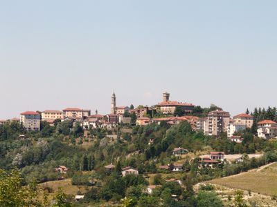
Tagliolo Monferrato, municipality in Italy
Location: Province of Alessandria
Capital city: Tagliolo Monferrato
Elevation above the sea: 315 m
Shares border with: Belforte Monferrato, Bosio, Casaleggio Boiro, Lerma, Ovada, Silvano d'Orba, Rossiglione
Website: http://comune.tagliolomonferrato.al.it
GPS coordinates: 44.63917,8.66694
Latest update: May 27, 2025 13:02

Disastro di Molare
8.9 km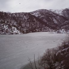
Laghi di Lavagnina
8.2 km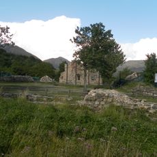
Abbazia della Benedicta
12.1 km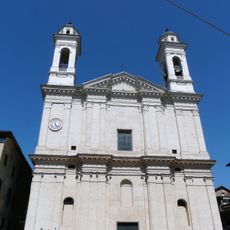
Nostra Signora Assunta
1.6 km
Santa Caterina
9.1 km
Santa Maria delle Grazie (Ovada)
1.5 km
Immacolata Concezione
1.8 km
Nostra Signora Assunta
8.1 km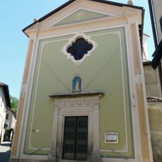
Chiesa della Natività di Maria Vergine e San Colombano
1.7 km
Palazzo comunale
8.6 km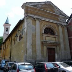
Santa Caterina oratory
9 km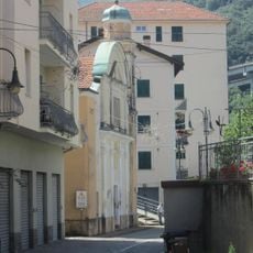
San Sebastiano
9 km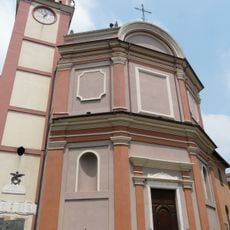
Santi Rocco e Sebastiano
8.1 km
San Sebastiano
8.1 km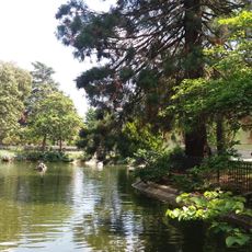
Villa Gabrieli
2.1 km
Castello di Casaleggio Boiro
5.7 km
Town hall of Rocca Grimalda
3.9 km
Castello Malaspina-Grimaldi
3.9 km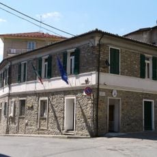
Town hall of Tagliolo Monferrato
104 m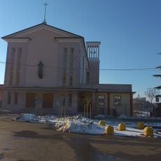
Church of St. Maria Domenica Mazzarello
7.7 km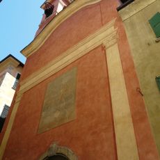
Oratorio dell'Annunziata
1.5 km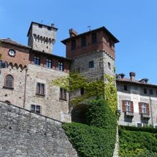
Tagliolo Castle
194 m
Town hall of Ovada
1.7 km
Town hall of Silvano d'Orba
5.2 km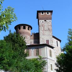
Castello Gajoli Boidi
5.7 km
Town hall of Molare
5.6 km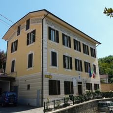
Town hall of Belforte Monferrato
1.7 km
Town hall of Mornese
7 kmReviews
Visited this place? Tap the stars to rate it and share your experience / photos with the community! Try now! You can cancel it anytime.
Discover hidden gems everywhere you go!
From secret cafés to breathtaking viewpoints, skip the crowded tourist spots and find places that match your style. Our app makes it easy with voice search, smart filtering, route optimization, and insider tips from travelers worldwide. Download now for the complete mobile experience.

A unique approach to discovering new places❞
— Le Figaro
All the places worth exploring❞
— France Info
A tailor-made excursion in just a few clicks❞
— 20 Minutes