
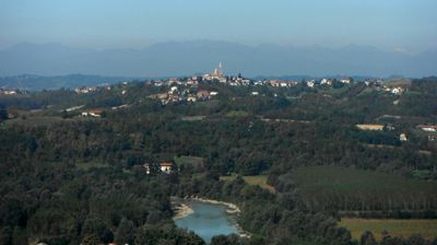
Antignano, Italian comune
Location: Province of Asti
Capital city: Antignano
Elevation above the sea: 260 m
Website: http://www.comune.antignano.at.it
Shares border with: Costigliole d'Asti, Revigliasco d'Asti, San Martino Alfieri, Celle Enomondo, Isola d'Asti, San Damiano d'Asti
Website: http://comune.antignano.at.it
GPS coordinates: 44.84506,8.13484
Latest update: April 29, 2025 08:08
Govone Castle
5.2 km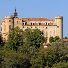
Castle of Costigliole d'Asti
7.1 km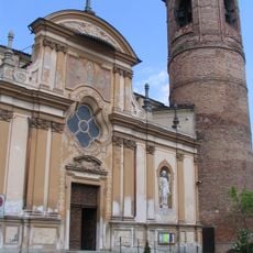
Parish church of Sts. Cosmas and Damian
5.5 km
Il Magico Paese di Natale
5.2 km
Church of St. Joseph
5.6 km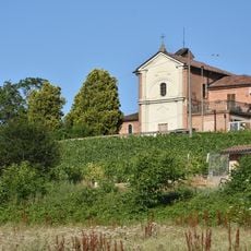
Santuario della Santissima Annunziata di Belangero
5 km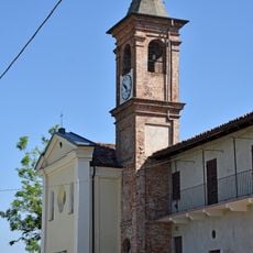
Santuario della Madonna delle Grazie
6.6 km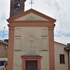
San Rocco
6.5 km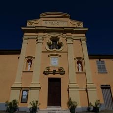
Santa Margherita church
5.7 km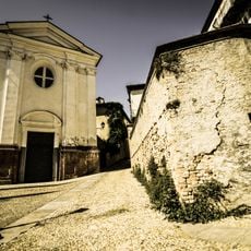
San Gerolamo's confraternity church
7.2 km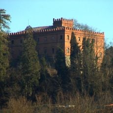
Castello di Belangero
5.3 km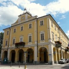
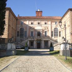
Town hall of Costigliole d'Asti
7.3 km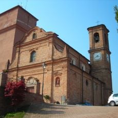
San Giovanni Battista e San Vincenzo
6.6 km
Chiesa Santa Maria de Horticis
3 km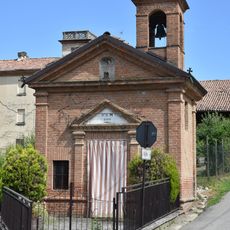
Cappella di San Sebastiano
5.5 km
Town hall of Isola d'Asti
3.8 km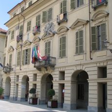
Town hall of San Damiano d'Asti
5.6 km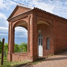
Sacro Monte (cappella XVII)
6.6 km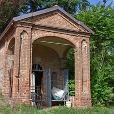
Sacro Monte (cappella XVIII)
6.7 km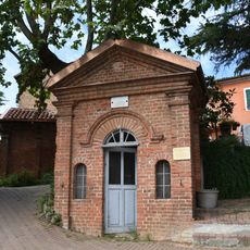
Sacro Monte (cappella XIII)
6.7 km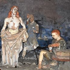
Sacro Monte (cappella X)
6.7 km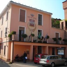
Town hall of Mongardino
6.6 km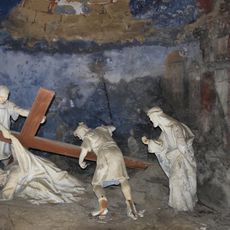
Sacro Monte (cappella III)
6.7 km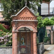
Edicola di san Pietro
6.1 km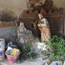
Sacro Monte (cappella XV)
6.6 km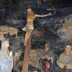
Sacro Monte (cappella XII)
6.7 km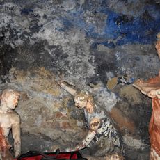
Sacro Monte (cappella XI)
6.7 km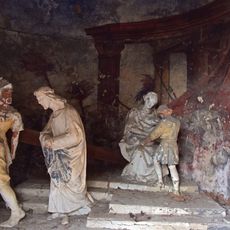
Sacro Monte (cappella I)
6.7 kmReviews
Visited this place? Tap the stars to rate it and share your experience / photos with the community! Try now! You can cancel it anytime.
Discover hidden gems everywhere you go!
From secret cafés to breathtaking viewpoints, skip the crowded tourist spots and find places that match your style. Our app makes it easy with voice search, smart filtering, route optimization, and insider tips from travelers worldwide. Download now for the complete mobile experience.

A unique approach to discovering new places❞
— Le Figaro
All the places worth exploring❞
— France Info
A tailor-made excursion in just a few clicks❞
— 20 Minutes