
Sant'Elena, Italian comune
Location: Province of Padua
Capital city: Sant'Elena
Elevation above the sea: 8 m
Shares border with: Este, Granze, Monselice, Solesino, Villa Estense
Website: http://comune.santelena.pd.it
GPS coordinates: 45.18333,11.71667
Latest update: March 15, 2025 03:36

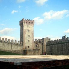
Carrarese Castle
6.9 km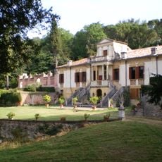
Villa Contarini
7.1 km
Museo della Civiltà Contadina
7.4 km
Museo Nazionale Atestino
6.9 km
Santa Tecla, Este
7.2 km
Villa Buzzaccarini
5.1 km
Villa Ca' Barbaro
4.6 km
Monte Cecilia
6.9 km
Natività della Beata Vergine Maria
3.1 km
Villa Centanini
5.6 km
San Martino
6.8 km
Santa Maria Assunta
2.2 km
Santa Maria delle Grazie, Este
6.5 km
Santa Cristina
3.2 km
San Giovanni Battista
7.2 km
Sant'Elena
528 m
San Giovanni Battista
5.5 km
Santi Andrea Apostolo e Colomba
4.1 km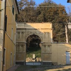
Arco del Falconetto
7.1 km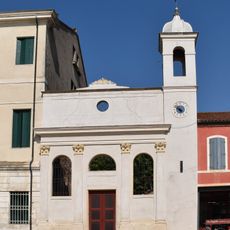
Ex Chiesetta dell'Annunziata
7 km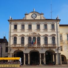
City hall
6.9 km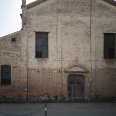
Santa Maria delle Consolazioni o "degli Zoccoli"
7.1 km
Old fish market
7 km
Porta Vecchia civic tower
6.9 km
Piazza Maggiore
6.9 km
Piazza Trento
7 km
Villa Castello de Cumani
835 m
Palazzo Fracanzani
7.2 kmReviews
Visited this place? Tap the stars to rate it and share your experience / photos with the community! Try now! You can cancel it anytime.
Discover hidden gems everywhere you go!
From secret cafés to breathtaking viewpoints, skip the crowded tourist spots and find places that match your style. Our app makes it easy with voice search, smart filtering, route optimization, and insider tips from travelers worldwide. Download now for the complete mobile experience.

A unique approach to discovering new places❞
— Le Figaro
All the places worth exploring❞
— France Info
A tailor-made excursion in just a few clicks❞
— 20 Minutes