
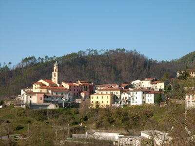
Carrodano, Italian comune
Location: Province of La Spezia
Capital city: Carrodano
Elevation above the sea: 215 m
Website: http://www.comune.carrodano.sp.it/
Shares border with: Borghetto di Vara, Carro, Deiva Marina, Framura, Levanto, Sesta Godano
Website: http://comune.carrodano.sp.it
GPS coordinates: 44.24185,9.65617
Latest update: March 4, 2025 05:15
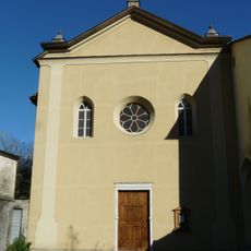
San Francesco
4.8 km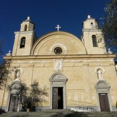
Nostra Signora di Roverano
1.3 km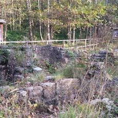
Ospedale di San Nicolao di Pietra Colice
6.9 km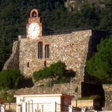
Castle of Bonassola
8.6 km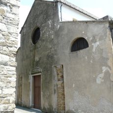
San Martino Church
8.6 km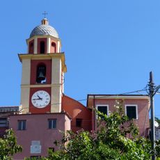
Chiesa di Santa Maria Assunta
8 km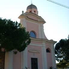
San Siro Church
7.4 km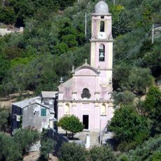
San Giorgio
7.9 km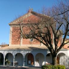
Nostra Signora della Guardia
7.9 km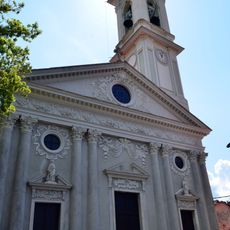
San Lorenzo
5.2 km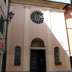
San Bernardo
5.3 km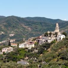
Chiesa di San Pietro
7.5 km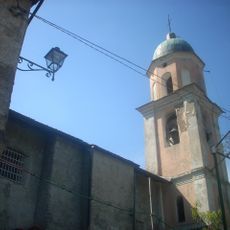
Sant'Anna
4.1 km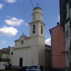
Santissimo Nome di Maria
3.8 km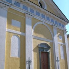
Santa Maria Assunta
5.5 km
Oratorio di San Rocco
8.2 km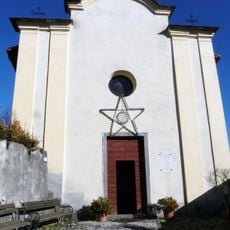
Sant'Antonio
4.3 km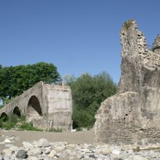
Ponte medievale
4.8 km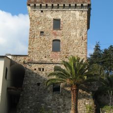
Torre medioevale
9.1 km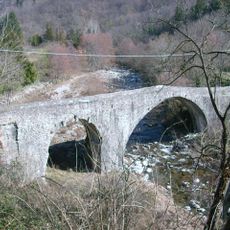
Ponte Medioevale sul torrente Gottero
5.6 km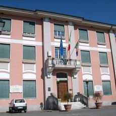
Palazzo Municipale in Sesta Godano
6 km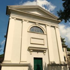
San Lorenzo Church
7.3 km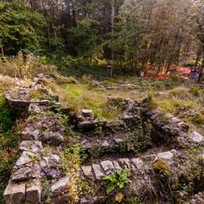
Archaeologic site of San Nicolao
6.8 km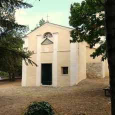
Chiesa di Santa Maria Assunta
7.5 km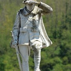
War memorial
6 km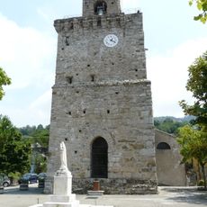
Torre carolingia
8.7 km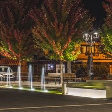
Fountain
6 km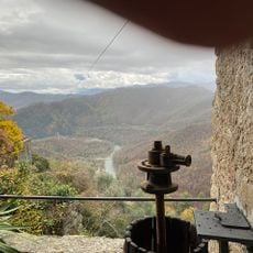
Panoramic terrace on the river Vara
2.9 kmReviews
Visited this place? Tap the stars to rate it and share your experience / photos with the community! Try now! You can cancel it anytime.
Discover hidden gems everywhere you go!
From secret cafés to breathtaking viewpoints, skip the crowded tourist spots and find places that match your style. Our app makes it easy with voice search, smart filtering, route optimization, and insider tips from travelers worldwide. Download now for the complete mobile experience.

A unique approach to discovering new places❞
— Le Figaro
All the places worth exploring❞
— France Info
A tailor-made excursion in just a few clicks❞
— 20 Minutes