Tesero, Italian comune
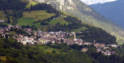
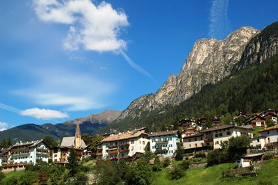
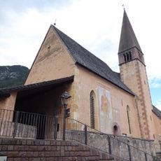
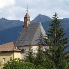
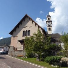
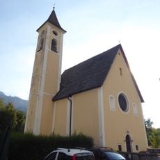
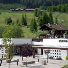
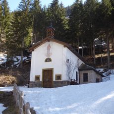
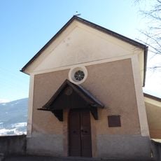
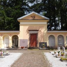
Tesero is a small commune in Trentino in northern Italy situated within a mountain valley and composed of several hamlets. The settlement displays typical Alpine characteristics with dispersed buildings, green meadows, and gentle slopes surrounding the area.
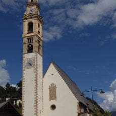
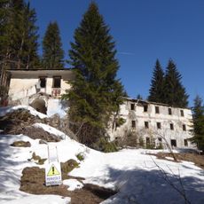
The commune originated from medieval settlements in the Alpine region and adapted to the mountain landscape like other valley communities. Its development across centuries was linked to forestry and farming, shaping both the economy and daily life.
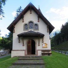
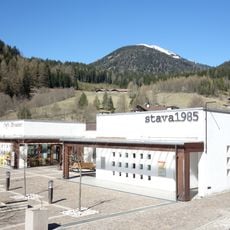
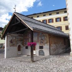
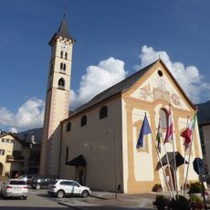
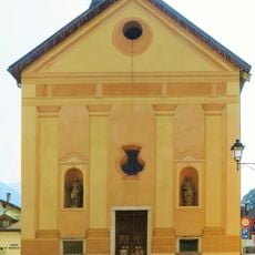
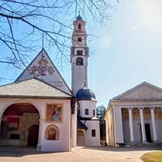
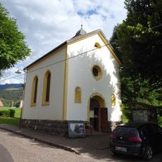
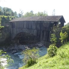
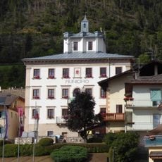
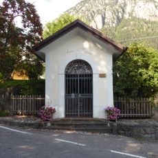
The name reflects the local heritage, and the architecture displays typical Alpine building styles using wood and stone. Visitors notice traditional houses with characteristic roofs that speak to the region's long mountain dwelling tradition.
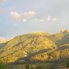
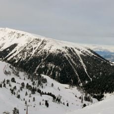
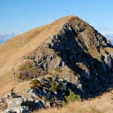
This location sits in a mountain valley and is best reached on foot or by car, though mountain roads present varying challenges depending on the season. The best time to visit depends on your interests, as hiking trails are accessible in summer while winter conditions are demanding.
The valley where this commune lies was historically a key hub for forest products and timber trade in the region. This economic link to forestry still shapes the appearance of the surroundings and local craft traditions today.
The community of curious travelers
AroundUs brings together thousands of curated places, local tips, and hidden gems, enriched daily by 60,000 contributors worldwide.