
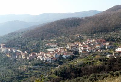
Caravonica, Italian comune
Location: Province of Imperia
Capital city: Caravonica
Elevation above the sea: 360 m
Shares border with: Borgomaro, Cesio, Chiusanico, Pieve di Teco
Website: http://comune.caravonica.im.it
GPS coordinates: 43.99234,7.95873
Latest update: April 4, 2025 05:41
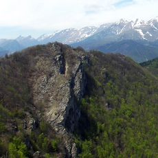
Rocca delle Penne
12.5 km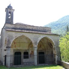
San Pantaleo
7.6 km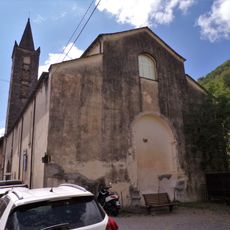
Madonna della Ripa
6.9 km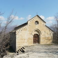
Santa Maria Maddalena
4.2 km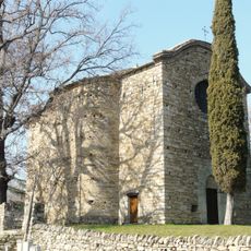
Santo Stefano
3.1 km
San Giovanni Battista
11.7 km
San Dalmazzo
11.2 km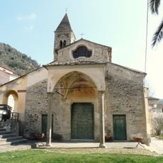
San Giovanni Battista
7.6 km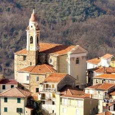
Natività di Maria Vergine
3.2 km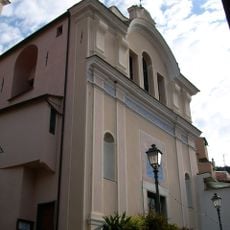
Santi Biagio e Francesco di Sales
3.4 km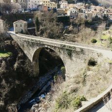
Ponte di Lavina
6 km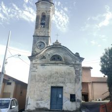
Madonna del Carmine
9.4 km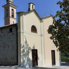
Santa Maria Maddalena
9.5 km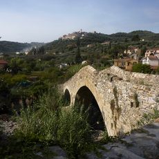
Ponte di San Martino
11.4 km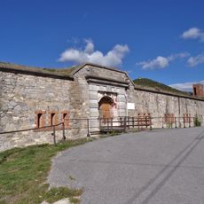
Forte Bellarasco
11.8 km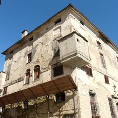
Palazzo dei marchesi di Clavesana
7.6 km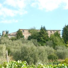
Castello dei marchesi Scarella
11.4 km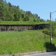
Forte Centrale
12.3 km
Bosco di Rezzo
9.5 km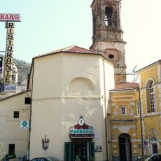
San Domenico
9.5 km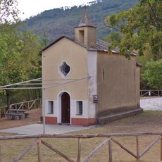
San Giacomo
11.9 km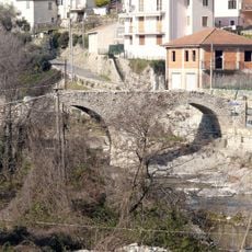
Ponte romanico
2 km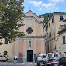
Immacolata Concezione
6.8 km
Santi Sebastiano e Fabiano
10.6 km
Sant'Antonio Abate
10.4 km
Museo del Territorio
10.8 km
Sant'Antonio Abate
11.2 km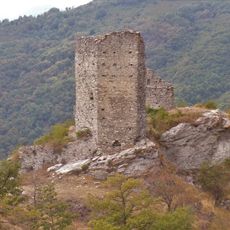
Castello dell'Aquila
12 kmReviews
Visited this place? Tap the stars to rate it and share your experience / photos with the community! Try now! You can cancel it anytime.
Discover hidden gems everywhere you go!
From secret cafés to breathtaking viewpoints, skip the crowded tourist spots and find places that match your style. Our app makes it easy with voice search, smart filtering, route optimization, and insider tips from travelers worldwide. Download now for the complete mobile experience.

A unique approach to discovering new places❞
— Le Figaro
All the places worth exploring❞
— France Info
A tailor-made excursion in just a few clicks❞
— 20 Minutes