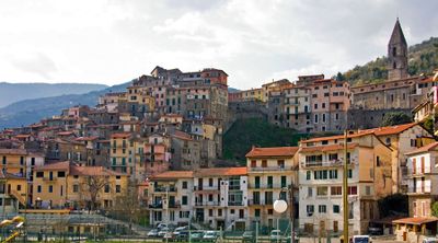
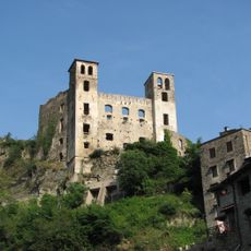
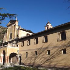
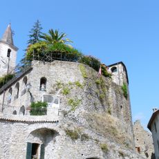
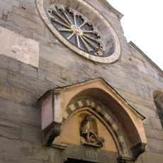
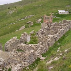
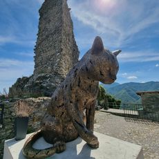
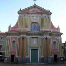
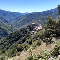
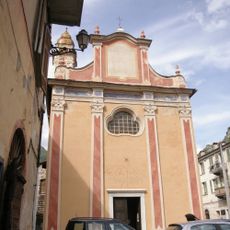
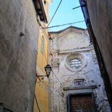
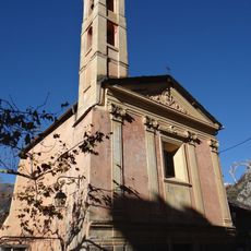
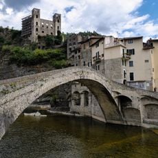
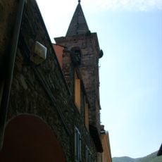
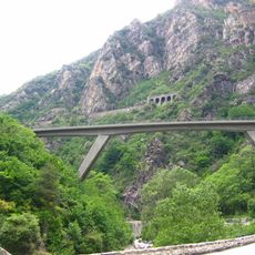
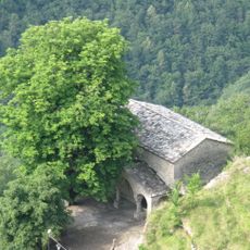
Pigna, Italian comune
Location: Province of Imperia
Capital city: Pigna
Elevation above the sea: 280 m
Shares border with: Apricale, Rocchetta Nervina, Triora, Isolabona, Castel Vittorio, Saorge
Website: http://comune.pigna.im.it
GPS coordinates: 43.93254,7.66375
Latest update: March 3, 2025 04:14
Doria castle in Dolceacqua
9.4 km
Monte Bignone
8.6 km
Parco naturale regionale delle Alpi Liguri
8.7 km
Monastère de Saorge
10.5 km
Castello della Lucertola
5.8 km
Monte Toraggio
4.9 km
Monte Ceppo
7.7 km
San Michele Arcangelo
70 m
V Settore di Copertura Media Roja
8.8 km
Castle of Triora
10.6 km
Sant'Antonio Abate
9.7 km
Museo di Triora
10.4 km
San Bernardo
579 m
Église de la Madone del Poggio
10.5 km
Église Saint-Sauveur de Saorge
10.9 km
Museo Regionale Etnografico e della Stregoneria
10.6 km
Église Notre-Dame-de-la-Visitation
11.9 km
Chapelle Saint-Jacques des Pénitents blancs de Saorge
10.9 km
Chapelle des Pénitents rouges
10.9 km
Medieval bridge on the Nervia
9.6 km
San Lorenzo
11 km
Scarassoui Viaduct
12.6 km
Polyptych of Santa Devota
9.7 km
Ippocastano
10.4 km
Chapelle Saint-Roch de Saorge
11.2 km
Rocca di Andagna
11.9 km
Castello dei Doria
6.2 km
Plaques commémoratives de Saorge
11.3 kmReviews
Visited this place? Tap the stars to rate it and share your experience / photos with the community! Try now! You can cancel it anytime.
Discover hidden gems everywhere you go!
From secret cafés to breathtaking viewpoints, skip the crowded tourist spots and find places that match your style. Our app makes it easy with voice search, smart filtering, route optimization, and insider tips from travelers worldwide. Download now for the complete mobile experience.
A unique approach to discovering new places❞
— Le Figaro
All the places worth exploring❞
— France Info
A tailor-made excursion in just a few clicks❞
— 20 Minutes