
Soraga di Fassa, Italian comune
Location: Trentino
Capital city: Soraga
Elevation above the sea: 1,207 m
Shares border with: Falcade, Moena, San Giovanni di Fassa, Rocca Pietore
Website: http://comune.soraga.tn.it
GPS coordinates: 46.39593,11.66822
Latest update: March 4, 2025 16:03

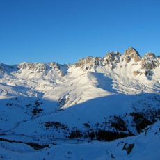
Monzoni
3 km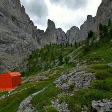
Bivacco Donato Zeni
3.3 km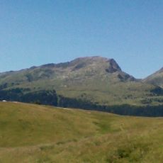
Cima Bocche
8 km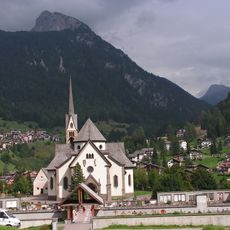
Saint Vigilius church
2.5 km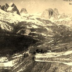
Forte Someda
2.4 km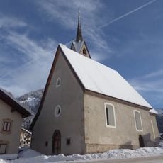
Saint Nicholas church
4.3 km
Museo Ladin de Fascia
3.2 km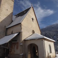
Nativity of Saint John the Baptist church
3 km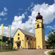
Saints Peter and Paul church
252 m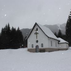
Crucifix chapel
4.6 km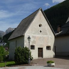
Saint Wolfgang church
2.5 km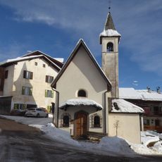
Saint John of Nepomuk church
2 km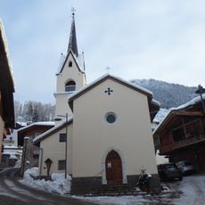
Saints Roch, Fabian and Sebastian church
2.1 km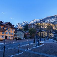
Moena
2.2 km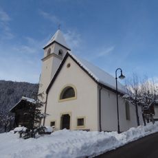
Immacolata church
312 m
La Gran Vera: museo prima guerra mondiale
2.7 km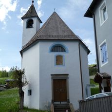
Our Lady of Sorrows chapel
2.1 km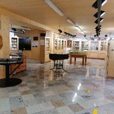
Mineralogical Museum Monzoni
2.9 km
Holy Trinity church
1.5 km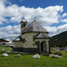
Saint Anthony of Padua church
9.9 km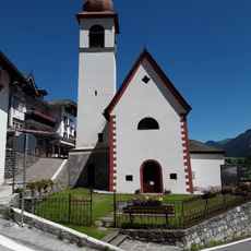
Saint Joseph church
2.9 km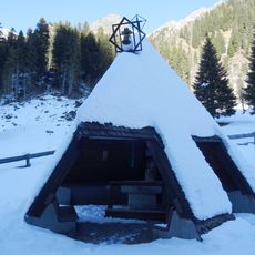
Madonna delle Vette church
7.1 km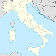
Monte Pecol
7.2 km
Sasso di Tasca
11.2 km
Col Ombert
10.3 km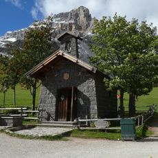
Our Lady of Snow chapel
12.3 km
Capitello votivo
2.4 km
Sasso di Rocca
9.2 kmVisited this place? Tap the stars to rate it and share your experience / photos with the community! Try now! You can cancel it anytime.
Discover hidden gems everywhere you go!
From secret cafés to breathtaking viewpoints, skip the crowded tourist spots and find places that match your style. Our app makes it easy with voice search, smart filtering, route optimization, and insider tips from travelers worldwide. Download now for the complete mobile experience.

A unique approach to discovering new places❞
— Le Figaro
All the places worth exploring❞
— France Info
A tailor-made excursion in just a few clicks❞
— 20 Minutes