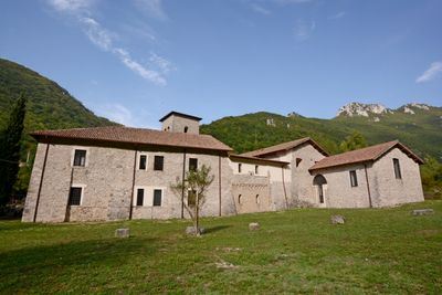
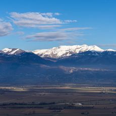
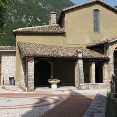
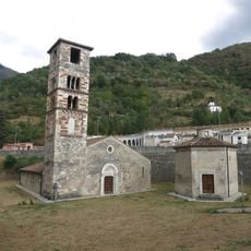
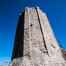
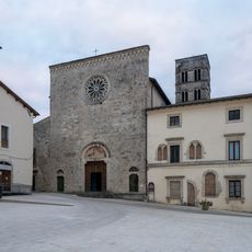
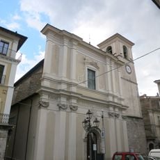
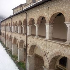
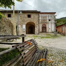
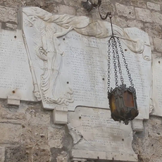
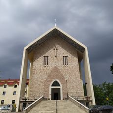
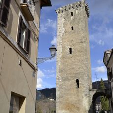
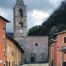
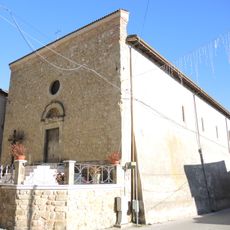
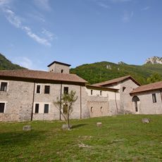
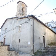
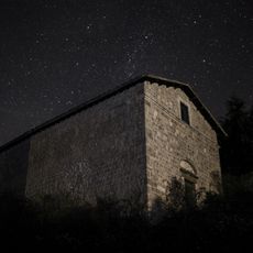
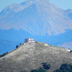
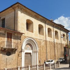
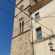
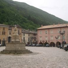
Micigliano, Italian comune
Location: Province of Rieti
Capital city: Micigliano
Elevation above the sea: 925 m
Website: http://halleyweb.com/c057037/hh/index.php?jvs=0&acc=1
Shares border with: Borbona, Borgo Velino, Cantalice, Castel Sant’Angelo, Cittaducale, Leonessa, Rieti, Antrodoco, Posta, Lazio
Website: http://halleyweb.com/c057037/hh/index.php?jvs=0&acc=1
GPS coordinates: 42.45000,13.05000
Latest update: March 5, 2025 08:42
Monte Terminillo
5 km
San Vittorino
13.3 km
Aquae Cutiliae
8.5 km
Santuario di Poggio Bustone
14.3 km
Gole del Velino
3.8 km
Santa Maria Extra Moenia
4.7 km
Torre Angioina
14.2 km
Church of Our Lady of the People, Cittaducale
10.9 km
PalaMalfatti
13.9 km
Duomo di Santa Maria Assunta
4.4 km
San Pietro, Leonessa
14.2 km
Santa Chiara, Antrodoco
4.3 km
Santa Anna di Borbona
9.5 km
Monumento ai Caduti nella Grande Guerra di Cittaducale
10.9 km
Cuore Immacolato di Maria e San Francesco
6.3 km
Torre angioina
10.6 km
Teatrino di San Pietro
14.2 km
Santa Maria ad Nives
12.4 km
Biblioteca civica Giuseppe Cultrera
14.3 km
Santi Quirico e Giulitta
2.4 km
Chiesa di Santa Maria Assunta
12.9 km
Santa Rufina Vecchia
9.7 km
San Giuseppe
12.3 km
Sant'Agostino
10.9 km
Torre Civica
10.9 km
San Rocco
13.1 km
Madonna della Neve
14 km
Fontana Farnesiana
14.3 kmReviews
Visited this place? Tap the stars to rate it and share your experience / photos with the community! Try now! You can cancel it anytime.
Discover hidden gems everywhere you go!
From secret cafés to breathtaking viewpoints, skip the crowded tourist spots and find places that match your style. Our app makes it easy with voice search, smart filtering, route optimization, and insider tips from travelers worldwide. Download now for the complete mobile experience.
A unique approach to discovering new places❞
— Le Figaro
All the places worth exploring❞
— France Info
A tailor-made excursion in just a few clicks❞
— 20 Minutes