
Serra de' Conti, Italian comune
Location: Province of Ancona
Capital city: Serra de' Conti
Elevation above the sea: 216 m
Shares border with: Arcevia, Barbara, Montecarotto, Ostra Vetere
Website: http://comune.serradeconti.an.it
GPS coordinates: 43.54218,13.03773
Latest update: March 11, 2025 13:36
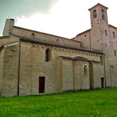
Abbazia di Santa Maria delle Moie
8.6 km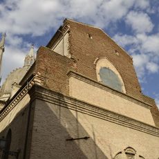
Chiesa di Santa Maria di Piazza
7.1 km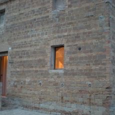
Museo civico e della mail art
2.8 km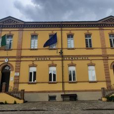
Museo Carlo Urbani
6.5 km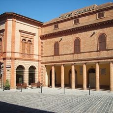
Teatro comunale
2.7 km
Saint Francis of Assisi Church
2.3 km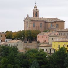
Santissima Annunziata
2.7 km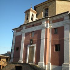
Saint Philip Neri Church
2.8 km
Civic collection of art, history and culture of Palazzo Fossa Mancini
6.4 km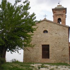
San Lorenzo
3.2 km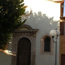
Chiesa del Crocifisso
2.7 km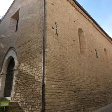
San Michele
220 m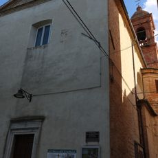
Santissimo Crocifisso Church
6.6 km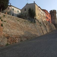
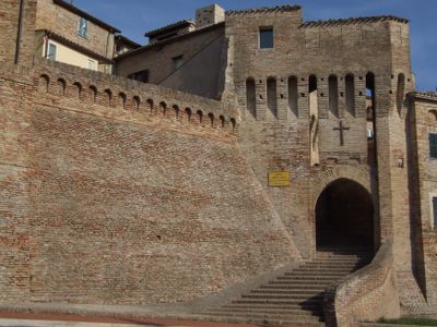
Mura
4.5 km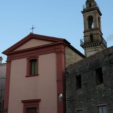
Santa Maria di Loreto Church
7.4 km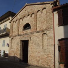
Santa Croce
171 m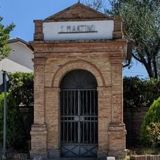
San Martino
7.9 km
San Sebastiano Martire Church
6.5 km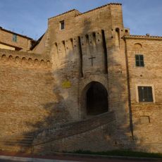
Architecture in Serra de' Conti
200 m
Sant'Andrea
7.8 km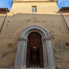
Chiesa di San Severo
7 km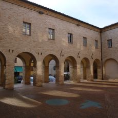
Chiostro di San Francesco
41 m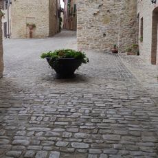
Castello di Castiglioni
4.4 km
Chiesa di Sant'Agata
4.3 km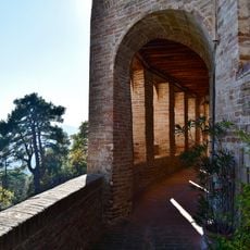
Castello di Piticchio
5.2 km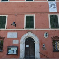
Palazzo Fossa Mancini
6.4 km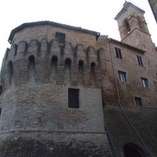
Castello
4.4 km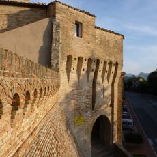
Mura
178 mVisited this place? Tap the stars to rate it and share your experience / photos with the community! Try now! You can cancel it anytime.
Discover hidden gems everywhere you go!
From secret cafés to breathtaking viewpoints, skip the crowded tourist spots and find places that match your style. Our app makes it easy with voice search, smart filtering, route optimization, and insider tips from travelers worldwide. Download now for the complete mobile experience.

A unique approach to discovering new places❞
— Le Figaro
All the places worth exploring❞
— France Info
A tailor-made excursion in just a few clicks❞
— 20 Minutes