Santarcangelo di Romagna

Log in to your account

AroundUs is a community-driven map of interesting places, built by curious explorers like you. It grows with every review, story, and photo you share.
Connect to save your favorite spots, contribute locations, and create personalized routes.
Continue with Google
Continue with Apple
Continue with X
Continue with Facebook
Continue with email
By continuing, you accept our Terms and Conditions and our Privacy Policy
Create an account
Add to collection
Map
Suggest a change
Share

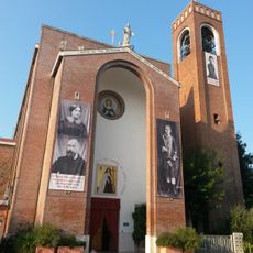
Santarcangelo di Romagna, Medieval commune in Province of Rimini, Italy

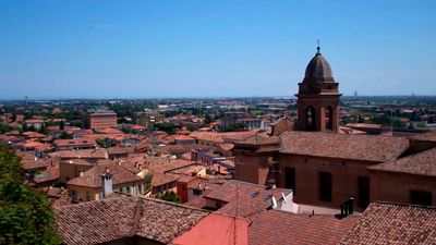
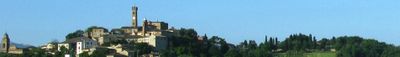
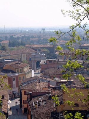
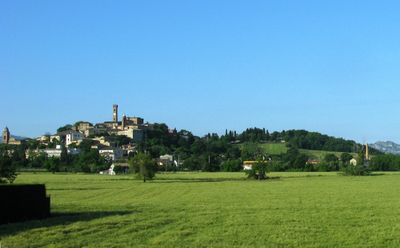
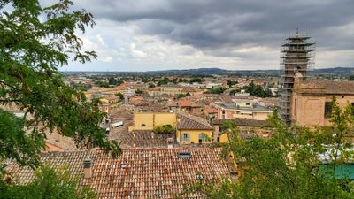
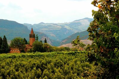
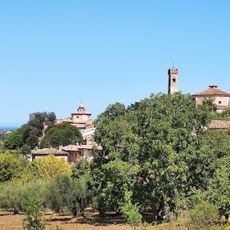
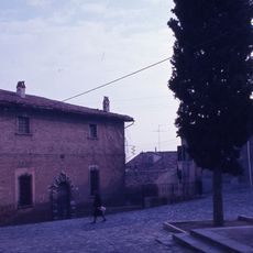
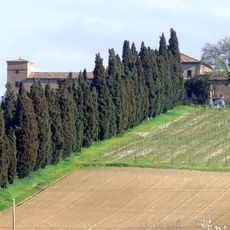
Santarcangelo di Romagna is a commune in the Province of Rimini that spreads over gentle hills between two river valleys, with its historic core sitting on a rise above the plain. The Via Emilia crosses the area and connects the old streets with modern residential neighborhoods that stretch down toward the coastal plain.

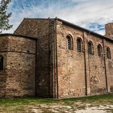
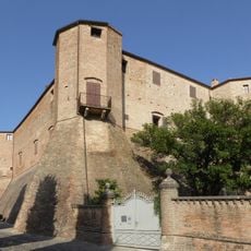
The settlement began as a Roman station along the Via Emilia and became a fortified place under shifting rule during the Middle Ages. The Malatesta family expanded the hilltop castle in the 15th century and strengthened their control over the region until papal forces took over the territory.

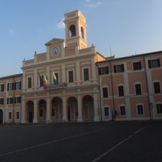
The narrow Piazza Ganganelli is framed by an 18th-century triumphal arch showing classical lines inspired by Roman models. Here locals meet for the market on Wednesday and Saturday mornings, when vendors sell fresh produce, cheese and textiles.

The railway station sits in the lower town near the Via Emilia and connects the place with the coastal city of Rimini, roughly 6 miles (10 kilometers) away. From the station, a climb through residential streets leads to the historic center on the hill, reachable in about 15 to 20 minutes on foot.

Below the streets and squares runs a network of over 160 grottos carved into the soft tufa rock, their origin partly unknown. Some caves served as air-raid shelters during World War II, while others probably stored wine or food.

Location: Province of Rimini

Elevation above the sea: 42 m

Shares border with: Borghi, Poggio Torriana, Verucchio, Rimini, San Mauro Pascoli, Savignano sul Rubicone, Longiano

Website: https://comune.santarcangelo.rn.it

GPS coordinates: 44.06326,12.44657

Latest update: December 13, 2025 19:14

Photos
Reviews

Visited this place? Tap the stars to rate it and share your experience / photos with the community! Try now! You can cancel it anytime.

« Santarcangelo di Romagna - Medieval commune in Province of Rimini, Italy » is provided by Around Us (aroundus.com). Images and texts are derived from Wikimedia project under a Creative Commons license. You are allowed to copy, distribute, and modify copies of this page, under the conditions set by the license, as long as this note is clearly visible.

Discover hidden gems everywhere you go!

From secret cafés to breathtaking viewpoints, skip the crowded tourist spots and find places that match your style. Our app makes it easy with voice search, smart filtering, route optimization, and insider tips from travelers worldwide. Download now for the complete mobile experience.

Around Us App Screenshot

A unique approach to discovering new places

Le Figaro

All the places worth exploring

France Info

A tailor-made excursion in just a few clicks

20 Minutes