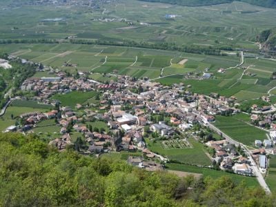
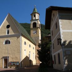
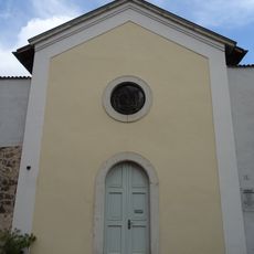
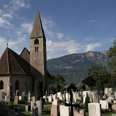
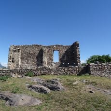
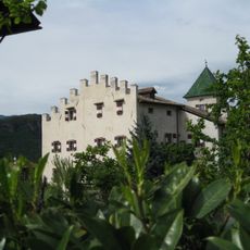
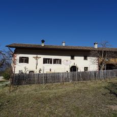
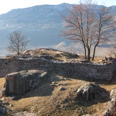
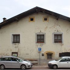
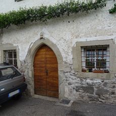
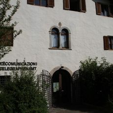
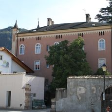
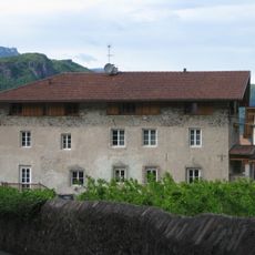
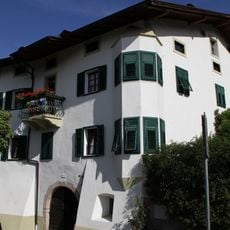
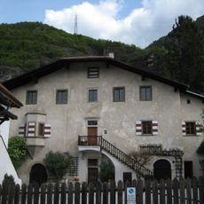
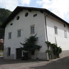
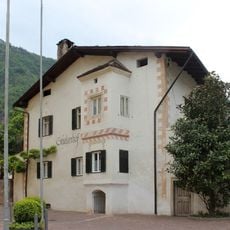
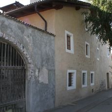
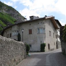
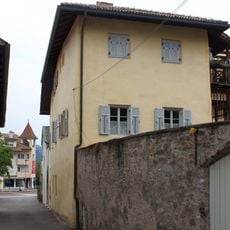
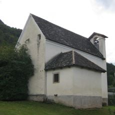
Auer, municipality in South Tyrol, Italy
Location: South Tyrol
Elevation above the sea: 236 m
Shares border with: Aldein, Montan an der Weinstraße, Vadena, Bronzolo, Tramin an der Weinstraße
Website: http://comune.ora.bz.it/system/web/default.aspx?sprache=3
GPS coordinates: 46.34687,11.29747
Latest update: March 11, 2025 06:27
Leuchtenburg
3.8 km
Baumgarten in Auer
472 m
Laimburg
4.2 km
Ansitz Fioreschy
320 m
Our Lady of the Rosary church
379 m
Austro-Hungarian military cemetery of Auer
671 m
Saint Daniel church
733 m
Loreto chapel
2.1 km
Saint John of Nepomuk chapel
66 m
Saint Peter church
630 m
Saint Barbara church
1.2 km
Wasserfallstraße 5 in Auer
452 m
Rothenhof in Kalditsch
2.1 km
Castelfeder
1.1 km
Karnol
1.2 km
Kirchplatz 3
340 m
Kolumbangasse 3
500 m
Abraham in Auer
259 m
Villa Auerheim
98 m
Nardin in Auer
464 m
Alte Landstraße 16
137 m
Staffler in Auer
506 m
Steinkeller in Auer
410 m
Stieler in Auer
364 m
Alte Landstraße 13
124 m
Pock in Auer
450 m
Pfarrwidum mit St.-Johannes-Nepomuk-Kapelle in Auer
77 m
Rothenhof mit Loretokapelle in Kalditsch
2.1 kmVisited this place? Tap the stars to rate it and share your experience / photos with the community! Try now! You can cancel it anytime.
Discover hidden gems everywhere you go!
From secret cafés to breathtaking viewpoints, skip the crowded tourist spots and find places that match your style. Our app makes it easy with voice search, smart filtering, route optimization, and insider tips from travelers worldwide. Download now for the complete mobile experience.
A unique approach to discovering new places❞
— Le Figaro
All the places worth exploring❞
— France Info
A tailor-made excursion in just a few clicks❞
— 20 Minutes