
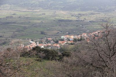
Anela, Italian comune
Location: Province of Sassari
Capital city: Anela
Elevation above the sea: 446 m
Shares border with: Bono, Nughedu San Nicolò, Bultei
Website: http://comune.anela.ss.it
GPS coordinates: 40.44444,9.05806
Latest update: March 27, 2025 10:07
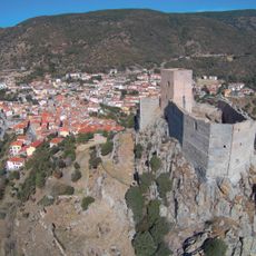
Castello di Burgos
8 km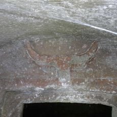
Necropoli di Sos Furrighesos
8.3 km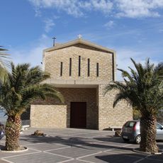
Chiesa dei Santi Cosma e Damiano
108 m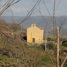
Santa Maria di Mesumundu
443 m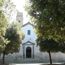
Chiesa di Sant'Elena
9.5 km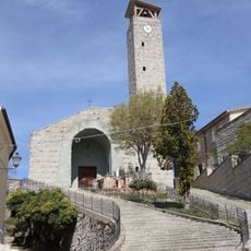
San Nicola
12.9 km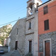
Chiesa di Santa Rosalia
9.8 km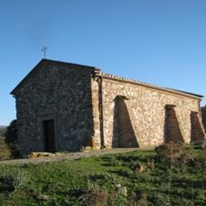
Chiesa di Santa Barbara
9.8 km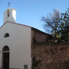
Chiesa di San Salvatore
9.9 km
Chiesa di San Giorgio
2 km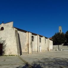
Chiesa di Santa Croce
9.4 km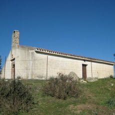
Chiesa della Beata Vergine di Boloe
9.7 km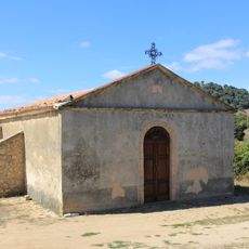
San Nicola
13.3 km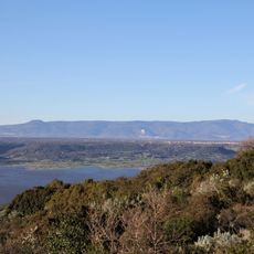
Monte Fraidorzu
8.2 km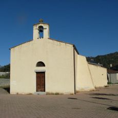
Chiesa di San Timoteo
9.7 km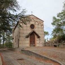
San Salvatore
10.4 km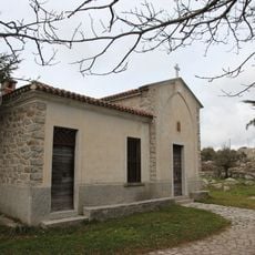
Chiesa di Nostra Signora dell'Altura
3.8 km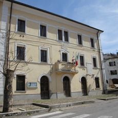
Town hall of Nughedu San Nicolò
12.8 km
Chiesa di San Gavino
8.7 km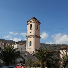
Campanile della chiesa antica
43 m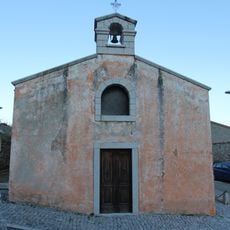
Chiesa di Sant'Antonio Abate
1.6 km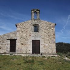
Santi Cosma e Damiano
10.9 km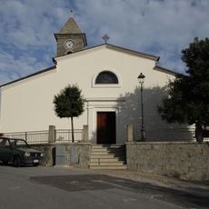
Chiesa di Sant'Antonio Abate
8.1 km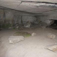
Necropoli di Luzzanas
5.7 km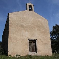
Chiesa di San Piero
13 km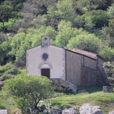
Chiesa di Sant'Antonio
12.9 km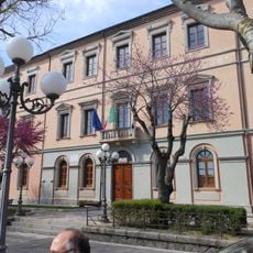
Town hall of Bono
3.9 km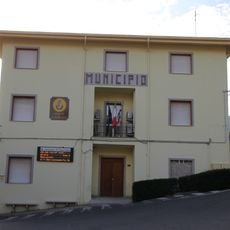
Town hall of Esporlatu
8.7 kmReviews
Visited this place? Tap the stars to rate it and share your experience / photos with the community! Try now! You can cancel it anytime.
Discover hidden gems everywhere you go!
From secret cafés to breathtaking viewpoints, skip the crowded tourist spots and find places that match your style. Our app makes it easy with voice search, smart filtering, route optimization, and insider tips from travelers worldwide. Download now for the complete mobile experience.

A unique approach to discovering new places❞
— Le Figaro
All the places worth exploring❞
— France Info
A tailor-made excursion in just a few clicks❞
— 20 Minutes