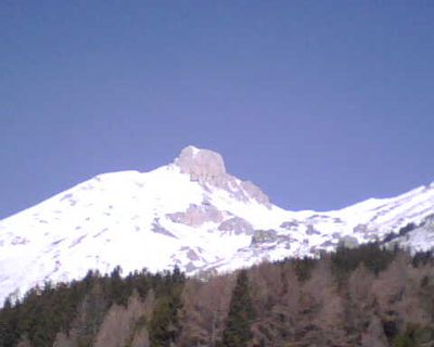
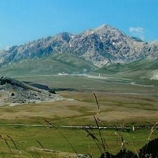
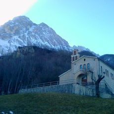
Monte Camicia, Mountain peak in Gran Sasso d'Italia chain, Province of Teramo, Italy
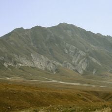
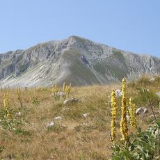
Monte Camicia rises to 2,564 meters (8,396 feet) and displays steep limestone cliffs on its northeastern face that drop roughly 1,400 meters (4,600 feet) toward the lower valleys. The mountain forms part of the Gran Sasso chain and consists of massive limestone formations that have been carved by weather over millennia.
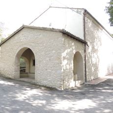
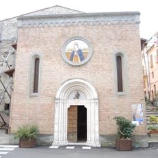
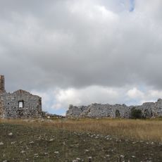
The mountain has served as a guiding landmark for travelers moving through the Abruzzo region since ancient times. Its distinctive shape made it a recognized feature across the central Apennines.
The paths across the mountain connect traditional shepherd routes where local herders have moved their flocks seasonally for generations. These ancient trails remain visible and show how communities have lived and worked in the highlands for centuries.
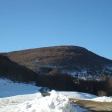
The ascent starts from the Fonte Vetica parking area and follows a challenging route with roughly 930 meters (3,050 feet) of elevation gain to the summit. It helps to start early in the day and wear sturdy boots, as the path crosses loose limestone terrain.
The slopes host colonies of Apennine Edelweiss, a rare plant that grows naturally among the limestone formations. This white wildflower thrives in the harsh conditions of high elevation and blooms during summer months.
The community of curious travelers
AroundUs brings together thousands of curated places, local tips, and hidden gems, enriched daily by 60,000 contributors worldwide.