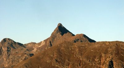
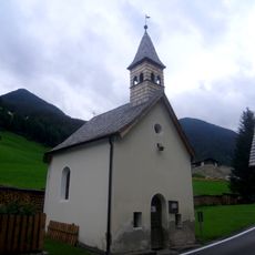
Penser Weißhorn, Mountain summit in South Tyrol, Italy
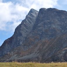
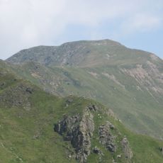
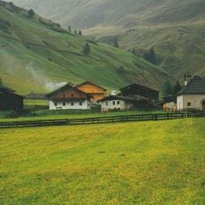
Penser Weißhorn is a mountain summit in the Sarentino Alps reaching 2,705 meters high with multiple hiking routes that wind through the northern sections of the range. The peak features rocky slopes alternating with grassy terrain, and offers panoramic views across the surrounding Alpine ridges from its top.
The first recorded ascent of the summit took place in 1822, marking the beginning of its history as a climbing destination. Since then it has remained an established peak in regional mountaineering records.
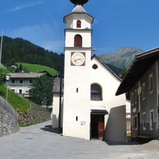
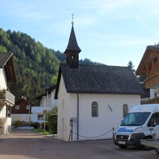
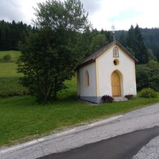
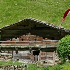
The mountain is known by two names in the region, reflecting the German and Italian speaking communities of South Tyrol who both claim it as part of their heritage. Locals recognize it as a defining landmark in the Alpine landscape.
The summit is accessible from several entry points including Pennes Pass and the Oberberg Valley, with the standard route beginning from the Giogo di Frane ridge. Plan for significant elevation gain and bring proper weather protection, as mountain conditions can change rapidly throughout the day.
The summit forms part of the Horseshoe High Route, a week-long hiking traverse that connects multiple peaks and passes through the entire Sarentino Alps. This continuous trail links together a series of Alpine experiences into one extended mountain journey.
The community of curious travelers
AroundUs brings together thousands of curated places, local tips, and hidden gems, enriched daily by 60,000 contributors worldwide.