
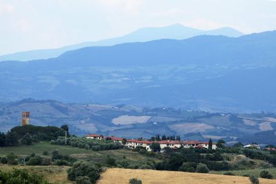
Marrucheti, human settlement in Campagnatico, Province of Grosseto, Tuscany, Italy
Location: Campagnatico
Elevation above the sea: 115 m
GPS coordinates: 42.82603,11.22103
Latest update: April 2, 2025 19:15
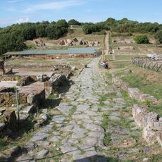
Rusellae
5 km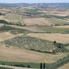
Vallée de l'Ombrone
7.5 km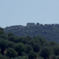
Tino di Moscona
5.8 km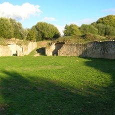
Roman Amphitheatre of Rusellae
5.1 km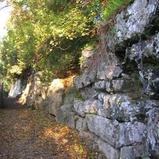
Walls of Rusellae
5 km
Convento di Santa Croce
6.9 km
Castello di Stertignano
2.5 km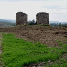
Colonne della Sabatina
7.1 km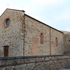
Santa Maria della Misericordia (Campagnatico)
7.7 km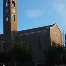
Immacolata Concezione
6.9 km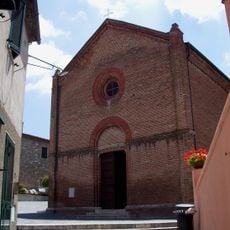
San Salvatore
5.4 km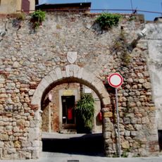
Walls of Batignano
6.4 km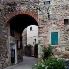
Walls of Montorsaio
7.3 km
San Martino
6.4 km
Walls of Istia d'Ombrone
5.4 km
San Lorenzo al Bagno
7 km
Santi Cerbone e Michele
7.3 km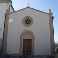
San Sebastiano
5.5 km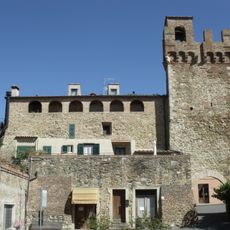
Palazzo di Giustizia
5.4 km
Santa Maria Ausiliatrice
22 m
San Filippo Apostolo a Sticcianese
5.4 km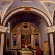
Confraternita di San Giuseppe
6.5 km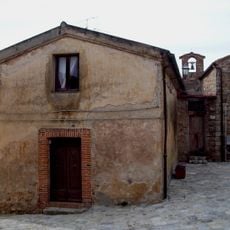
Santissimo Crocifisso
7.3 km
Sant'Antonio Abate
7.7 km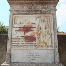
War memorial in Montorsaio
7.3 km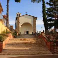
Madonna di Lourdes
3.9 km
Town hall of Campagnatico
7.7 km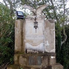
Campagnatico war memorial
7.7 kmReviews
Visited this place? Tap the stars to rate it and share your experience / photos with the community! Try now! You can cancel it anytime.
Discover hidden gems everywhere you go!
From secret cafés to breathtaking viewpoints, skip the crowded tourist spots and find places that match your style. Our app makes it easy with voice search, smart filtering, route optimization, and insider tips from travelers worldwide. Download now for the complete mobile experience.

A unique approach to discovering new places❞
— Le Figaro
All the places worth exploring❞
— France Info
A tailor-made excursion in just a few clicks❞
— 20 Minutes