Cima di Cece, Mountain summit in Predazzo, Italy
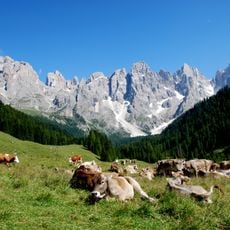
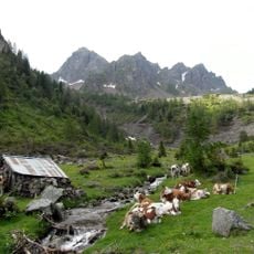
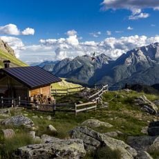
Cima di Cece is the highest peak of the Lagorai range, a porphyry chain in eastern Trentino, reaching 2,754 metres. It lies on the watershed between the Fiemme valley and the Vanoi valley, between Predazzo and Canal San Bovo. The summit is usually climbed from the north, starting at Malga di Valmaggiore at 1,620 metres.
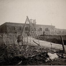
During World War I, the mountain served as a strategic military position with fortifications and trenches marking the frontier between Italy and Austria-Hungary. The peak held importance in the defense strategies of the wartime border zone.
Locals call the peak Cimòn de Sés in the Predazzo dialect, a name that survives alongside the Italian one. The summit marks the watershed between the Adige basin, through Val di Fiemme, and the Brenta basin, through the Vanoi valley, and the municipal boundary between Predazzo and Canal San Bovo runs across it.
The hike starts from Malga di Valmaggiore at about 1,620 meters elevation and follows marked trails to the summit. Plan roughly four hours for the ascent and bring gear for changing mountain weather conditions.
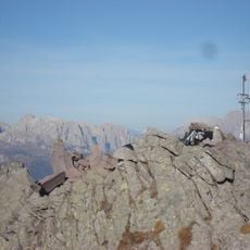
From the summit, you can see several distant mountain groups including Latemar, Catinaccio, Marmolada, and Pallide San Martino. This view makes the location a favored vantage point for understanding the breadth of the Dolomite landscape.
The community of curious travelers
AroundUs brings together thousands of curated places, local tips, and hidden gems, enriched daily by 94,467 contributors worldwide.