Salurner Klause, Mountain pass and narrows in South Tyrol, Italy.
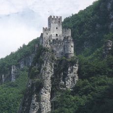
The Salurner Klause is a narrow gorge in the Adige Valley in South Tyrol, Italy, where the valley walls close in tightly between Monte Alto and the Fennberg plateau. The Adige River bends through this constriction, and steep rock faces rise on both sides of the passage.
From the 13th century onward, the Counts of Tyrol used this passage as a control point to monitor movement through the Adige Valley. For centuries it served as a boundary marker between different political and cultural zones crossing the Alps.
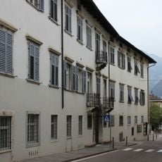
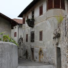
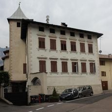
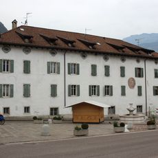
The narrows mark the point where German-speaking South Tyrol gives way to Italian-speaking Trentino. Travelers passing through often notice the shift in place names and signage within just a short stretch of road.
The passage is accessible by bike along the Val d'Adige Cycle Path, which runs through the open valley between Bolzano and Trento. On foot, the Durer Path offers an alternative route through the surrounding area and is clearly marked.
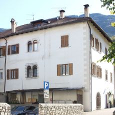
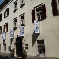
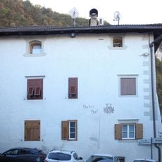
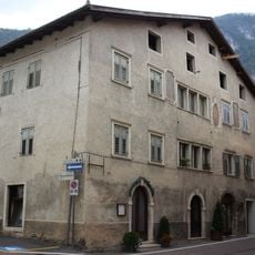
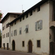
Albrecht Durer passed through this gorge in 1495 on his way to Italy and is believed to have sketched the surrounding landscape during his journey. A walking route named after him now traces that same path through the nearby village of Pochi di Salorno.
The community of curious travelers
AroundUs brings together thousands of curated places, local tips, and hidden gems, enriched daily by 60,000 contributors worldwide.