
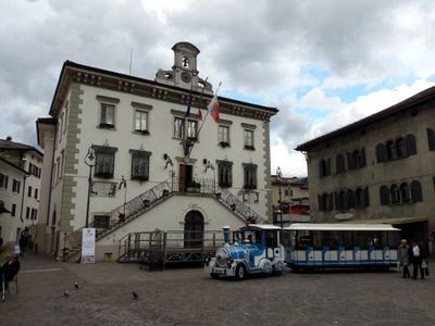
Municipio, building in Pergine Valsugana, Italy
Location: Pergine Valsugana
Address: Piazza Municipio
GPS coordinates: 46.06052,11.24067
Latest update: March 6, 2025 10:18
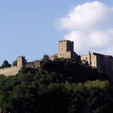
Castel Pergine
680 m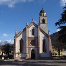
Nativity of Mary church
337 m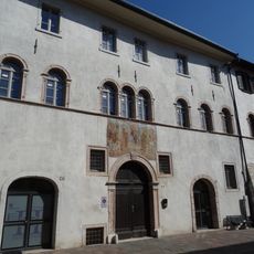
Palazzo a Prato
132 m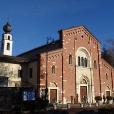
Redeemer church
320 m
Saint Charles Borromeo church
299 m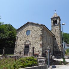
Saint Anthony church
1 km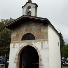
Saint Roch church
233 m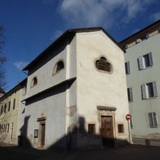
Saint Anthony church
325 m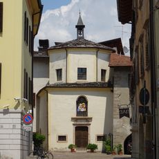
Saint Elizabeth church
106 m
Teatro comunale
220 m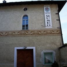
Sede della Banda sociale di Pergine Valsugana
279 m
Monument to the former Austro-Hungarian cemetery
602 m
Saliente fountain
321 m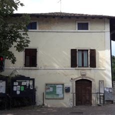
Edificio Canopi
294 m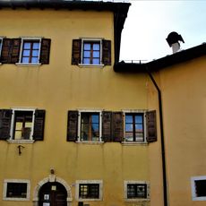
Ex Pretura
209 m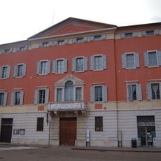
Palazzo Montel
332 m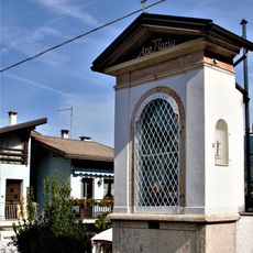
Capitello del Tegazzo
197 m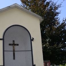
Holy Crucifix shrine
1.1 km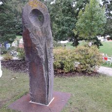
Sculptures Simposio 2008
897 m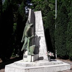
War memorial
295 m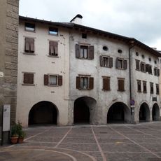
Via Maier portico
100 m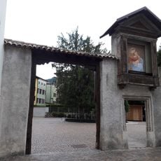
Schrine of the Cerri
18 m
Filanda Chimelli-Gavazzi
221 m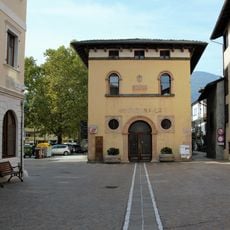
Ex Macello
127 m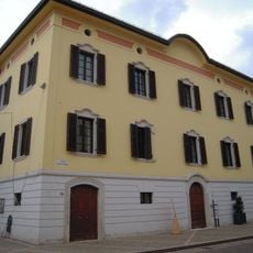
Palazzo Cerra
83 m
Santa Margherita
276 m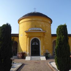
Cemetery chapel
422 m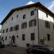
Palazzo Hippoliti
111 mVisited this place? Tap the stars to rate it and share your experience / photos with the community! Try now! You can cancel it anytime.
Discover hidden gems everywhere you go!
From secret cafés to breathtaking viewpoints, skip the crowded tourist spots and find places that match your style. Our app makes it easy with voice search, smart filtering, route optimization, and insider tips from travelers worldwide. Download now for the complete mobile experience.

A unique approach to discovering new places❞
— Le Figaro
All the places worth exploring❞
— France Info
A tailor-made excursion in just a few clicks❞
— 20 Minutes