
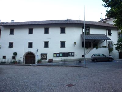
Hans-Feur-Straße 2-4, Bauwerk in Tramin
Location: Tramin an der Weinstraße
GPS coordinates: 46.34161,11.24058
Latest update: March 8, 2025 03:21
Unterspaur
432 m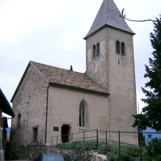
St. Jacob's Church, Kastelaz
328 m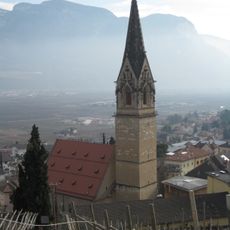
St. Cyricus and Julitta
32 m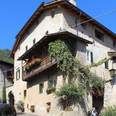
Ansitz Langenmantel
191 m
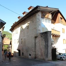
Hans-Feur-Straße 24
241 m
Bachgasse 19-21
423 m
Schneckenthaler Straße 19-20
211 m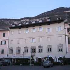
Goldener Löwe
105 m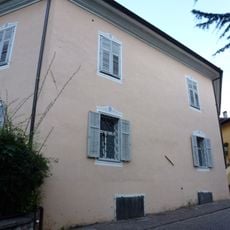
Andreas-Hofer-Straße 1
372 m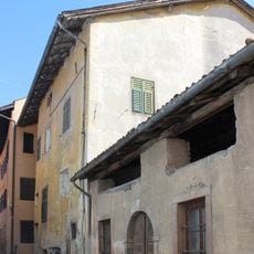
Hans-Feur-Straße 14
142 m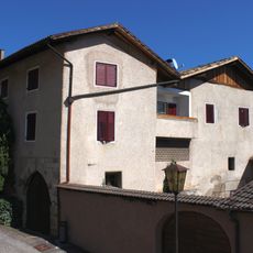
Quirikusgasse 1
215 m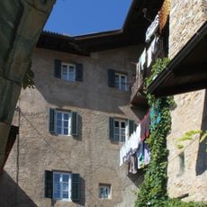
Schneckenthaler Straße 2
169 m
Andreas-Hofer-Straße 34-36
525 m
Christian-Schrott-Gasse 7
410 m
Hans-Feur-Straße 11-11a
97 m
Bachgasse 15 - Hans-Feur-Straße 57
444 m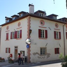
Bachgasse 13
452 m
Andreas-Hofer-Straße 38
597 m
Spital mit Kapelle
222 m
Wolkensteinhaus
191 m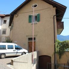
Alter Widum
223 m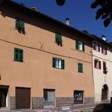
Hans-Feur-Straße 13-15
110 m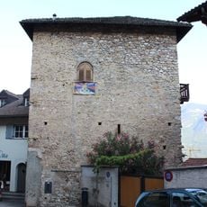
Oswald-von-Wolkenstein-Straße 4
126 m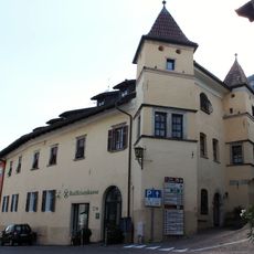
Julius-von-Payr-Straße 4-6
157 m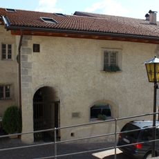
Hans-Feur-Straße 26
251 m
Schneckenthaler Straße 21
226 m
Widum in Tramin
63 m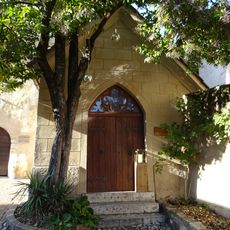
Old hospital chapel
203 mReviews
Visited this place? Tap the stars to rate it and share your experience / photos with the community! Try now! You can cancel it anytime.
Discover hidden gems everywhere you go!
From secret cafés to breathtaking viewpoints, skip the crowded tourist spots and find places that match your style. Our app makes it easy with voice search, smart filtering, route optimization, and insider tips from travelers worldwide. Download now for the complete mobile experience.

A unique approach to discovering new places❞
— Le Figaro
All the places worth exploring❞
— France Info
A tailor-made excursion in just a few clicks❞
— 20 Minutes