Akusekijima, Volcanic island in Kagoshima County, Japan
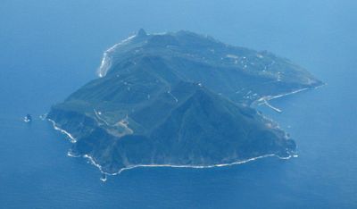
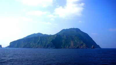
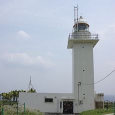
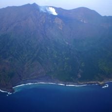
Akusekijima is a volcanic island in Kagoshima Prefecture, Japan, belonging to the Tokara Islands chain and located roughly 60 kilometers north of Amami Ōshima. Steep cliffs surround most of the coastline, while dense forest covers the interior rising toward two summit craters.
The territory belonged to the Ryukyu Kingdom until 1624, when Satsuma Domain took control and incorporated it into their administrative system. After the Meiji Restoration, it became part of the newly formed Kagoshima Prefecture and has remained under Japanese administration since.
The name comes from the Ryukyu language and means "island of bad deals", a reference to historical trading difficulties that shaped local identity. Families here maintain traditional fishing methods passed down through generations, working from small boats along the rocky coastline.
Ferry service from the mainland runs twice weekly and takes about eleven hours in each direction, so travelers should plan their stay carefully. Walking trails into the interior tend to be steep and require sturdy footwear and plenty of water, especially during summer months.
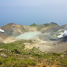
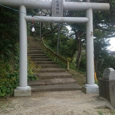
Lava flows in the northern part formed roughly 80,000 years ago and now support vegetation that offers insight into the geological past. The annual lunar O-Bon features masked figures representing the deity Boze, who walk through the village bringing blessings and protection.
The community of curious travelers
AroundUs brings together thousands of curated places, local tips, and hidden gems, enriched daily by 60,000 contributors worldwide.