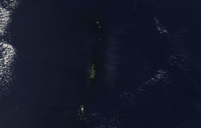
Bonin Islands, Volcanic archipelago in Pacific Ocean, Japan.
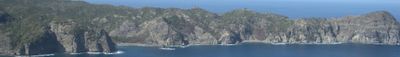
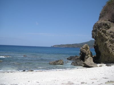
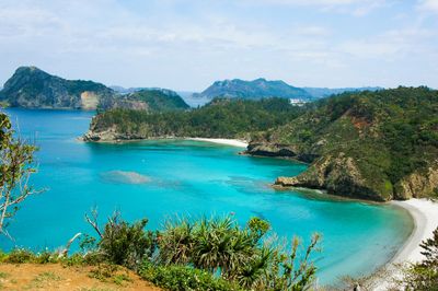
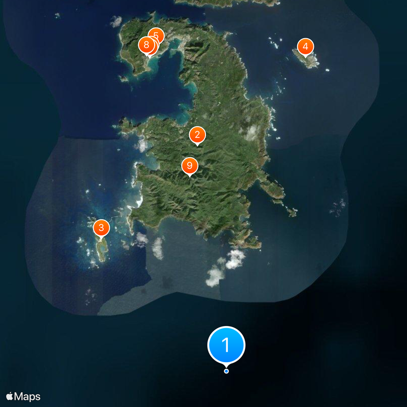
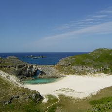
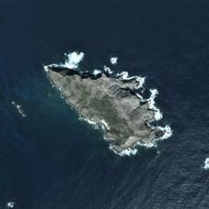
The Bonin Islands are a group of around 30 islands in the Pacific, about 1,000 km (600 miles) south of Tokyo, with steep cliffs dropping straight into deep blue water. The few accessible beaches sit between rocky outcrops, while dense forest climbs the slopes inland.
European ships passed the islands from the 16th century onward, but the first whalers and settlers arrived permanently in the 1830s. After World War II, the United States controlled the islands until returning them to Japan in the 1970s.
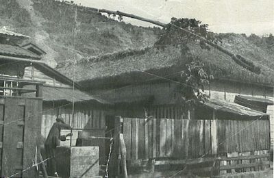
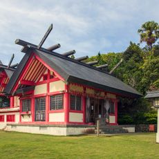
The name Bonin comes from the Japanese term meaning "no people", referring to the islands when they were first recorded without inhabitants by sailors. Today local families gather at small community centers and churches, many displaying photographs and artifacts from the whaling era and wartime evacuations.
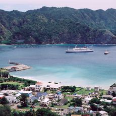
A ferry ride from Tokyo takes around 24 hours and boats run only every few days, so plan to stay for several nights on the islands. Weather can change quickly, and strong winds sometimes delay or cancel departures.
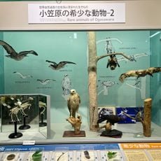
Many plants and animals here exist nowhere else, including snails with brightly colored shells and trees that grow only on these few islands. Whales and dolphins swim year-round in the waters around the islands, and people often spot them from shore or small boats.
The community of curious travelers
AroundUs brings together thousands of curated places, local tips, and hidden gems, enriched daily by 60,000 contributors worldwide.