Mount Myōgi, Sacred mountain in Gunma Prefecture, Japan.
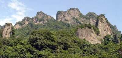
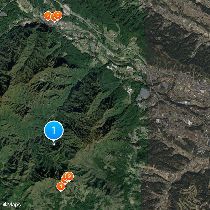
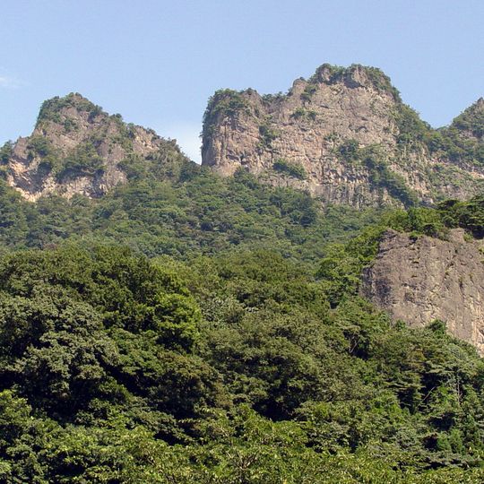
Mount Myōgi is a mountain range on the borders of Annaka, Shimonita and Tomioka in Gunma Prefecture, split into Omote-Myōgi on the south side and Ura-Myōgi on the north. Its highest point is Sōma-dake at 1,103.8 m, while Ura-Myōgi's main summit, Yakyū-yama, reaches 1,162.1 m. Pale grey-brown dacite and tuff crags with steep, jagged faces and vertical ridges rise above dense green forest, forming tower- and candle-shaped rock peaks.
Volcanic activity three million years ago shaped the current structure of the mountain from dacite lava, tuff, and breccia. Erosion of surrounding sedimentary layers exposed the more resistant volcanic rocks and created the present formations.
The mountain's name appears in local school sports days, where teams are split into Akagi, Haruna and Myōgi groups, and in the Jōmo Karuta card game, where the 'mo' card reads 'Myōgi lit by autumn leaves'. The three dormitories of the Tomioka Silk Mill, a UNESCO site since 2014, also carry these mountain names.
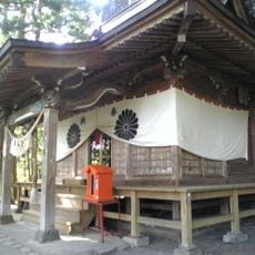
The Omote-Myōgi traverse is classed as an advanced route in Tomioka City's climbing map and as the highest, unclassified difficulty in Shobunsha's mountain map; chains are fixed at Takamodoshi, Hokkiri and Okunoin. Kinkei-san is closed to entry. A gentler middle trail links Myōgi Shrine with Nakanotake Shrine along the Kanto Fureai no Michi. Road Station Myōgi, with the tourism information centre, stands near the shrine's first torii.
The named rocks — Candle Rock, Cannon Rock, Brush Head Rock, Shaky Rock and Nihilist Monk Rock — lie along the slope above Nakano-dake Shrine, where the Stone Gate circuit begins. The mountain's rock is dacite, tuff and conglomerate, formed around three million years ago with the Honjuku caldera; softer sedimentary layers later eroded away, leaving these shapes exposed.
The community of curious travelers
AroundUs brings together thousands of curated places, local tips, and hidden gems, enriched daily by 92,694 contributors worldwide.