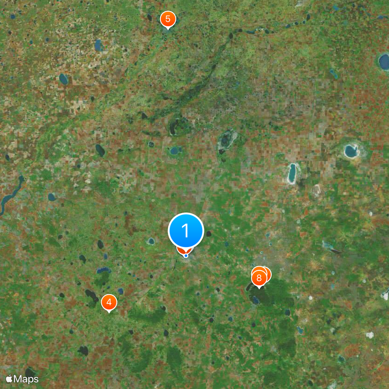
Kokshetau, Regional capital in northern Kazakhstan.
Kokshetau is a city in northern Kazakhstan that spreads along the southern shore of Lake Kopa and serves as the administrative center of the region. The city sits between the flat expanse of the Ishim Steppe to the north and the gentle hills of the Kokshetau range to the south, creating a varied landscape around the settlement.
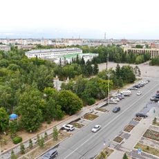
The settlement emerged as an administrative post in 1824 and developed into an important trading hub in the Kazakh steppe. Official recognition as a city came in 1895, and between 1944 and 1997 it served as the capital of a larger administrative unit within the Kazakh Soviet republic.
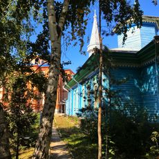
The old town displays bilingual signs in Kazakh and Russian, and visitors hear both languages spoken daily in markets and cafés. Theater and music performances take place regularly at the local cultural center, where traditional Kazakh music is performed alongside Russian classical pieces.
The airport offers international connections to several major cities in the region, while the central train station handles services to Astana and other destinations in Kazakhstan. Buses run regularly between the town and surrounding settlements, and most facilities are within walking distance from the city center.
One of the largest high-voltage power lines in the world terminates here, transmitting over 1000 kilovolts and delivering electricity from coal power plants in the east of the country. This technical installation plays an important role in the national energy grid and is a rare example of such high-capacity power transmission over long distances.
The community of curious travelers
AroundUs brings together thousands of curated places, local tips, and hidden gems, enriched daily by 60,000 contributors worldwide.