
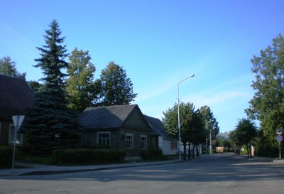
Ignalina, human settlement
Location: Ignalina District Municipality
Inception: 1810
Elevation above the sea: 165 m
Website: https://ignalina.lt
GPS coordinates: 55.34000,26.15667
Latest update: March 22, 2025 11:20

Protected area of Lithuania
3.8 km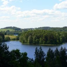
Aukštaitija National Park
6.3 km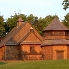
Church of St. Joseph, Palūšė
3.6 km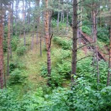
Ginučiai hillfort
11.5 km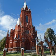
Church of the Visitation, Vidiškės
4.9 km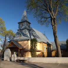
Church of the Holy Name of the Virgin Mary, Ceikiniai
11.7 km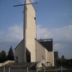
Church of the Nativity of the Virgin Mary, Ignalina
183 m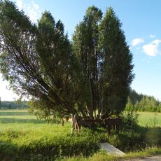
Obelų Ragas junipers
9.2 km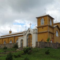
Church of Saints Joachim and Anne, Naujasis Daugėliškis
9.6 km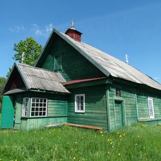
Old Believers Church in Mikalavas
11.1 km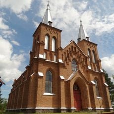
Church of St. Stanislaus the Bishop, Kazitiškis
11.4 km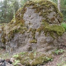
Antakmene conglomerate
12.3 km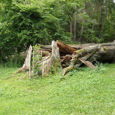
Trainiškio ąžuolas
9 km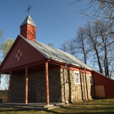
Church of the Sacred Heart of Jesus in Paringys
12.3 km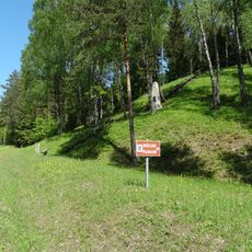
Mažulonys hillfort
6.5 km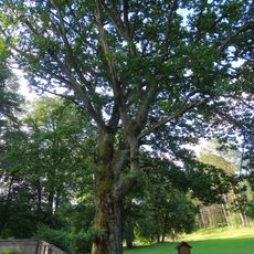
Palūšės ąžuolas
3.6 km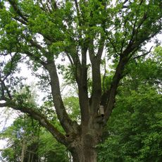
Kazitiškio ąžuolas
11 km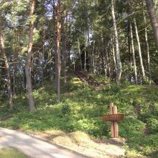
Papiliakalnė hillfort
11.6 km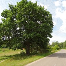
Vaišniūnų ąžuolas
6.2 km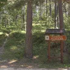
Puziniškis hillfort
9.3 km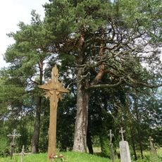
Rupinskų pušis
11.9 km
Rakštelių piliakalnis
11.8 km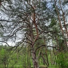
Asalnai pine
6.3 km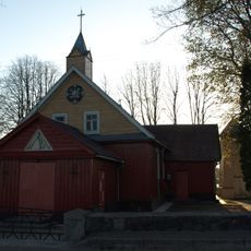
Church of Saint Isidore, Reškutėnai
10.4 km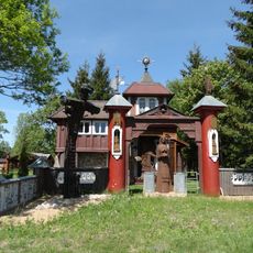
Jukiškės Chapel
9.9 km
Reškutėnų muziejus
9.7 km
Chapel in Vasiuliai
9.9 km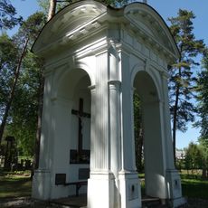
Zuikos chapel
5.2 kmVisited this place? Tap the stars to rate it and share your experience / photos with the community! Try now! You can cancel it anytime.
Discover hidden gems everywhere you go!
From secret cafés to breathtaking viewpoints, skip the crowded tourist spots and find places that match your style. Our app makes it easy with voice search, smart filtering, route optimization, and insider tips from travelers worldwide. Download now for the complete mobile experience.

A unique approach to discovering new places❞
— Le Figaro
All the places worth exploring❞
— France Info
A tailor-made excursion in just a few clicks❞
— 20 Minutes