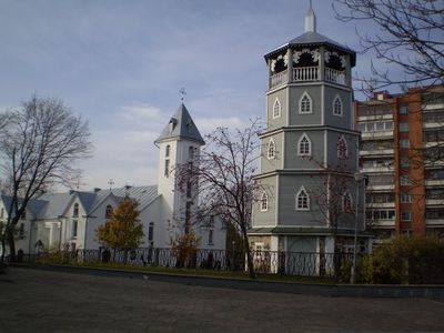
Radviliškis, city in Lithuania
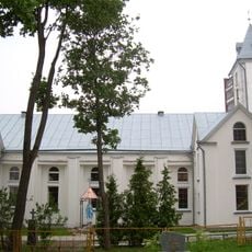
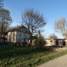
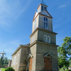
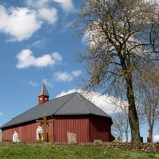
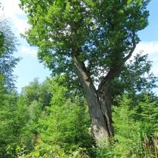
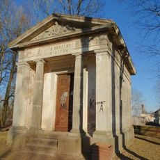
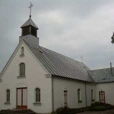
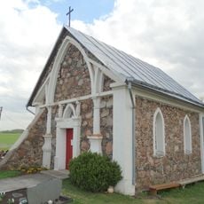
Radviliškis is a small city in Lithuania that grew around old trade routes as a meeting point for travelers. The town features simple brick buildings, a central square with a church at its heart, surrounding agricultural land with fields and forests, and several 19th-century structures that tell the story of its past.
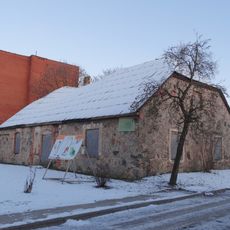
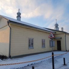
The city developed as an important trading point along old passage routes. Most of the brick buildings that still define the town today were built in the 19th century, marking a period of stable growth and economic activity.
Radviliškis embodies traditional Lithuanian small-town life, where neighbors greet each other and local festivals bring the community together. The simple architecture of brick buildings and the vegetable gardens surrounding homes reflect how residents preserve everyday customs and local practices.
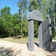
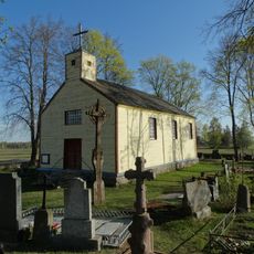
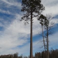
The best way to explore the town is on foot, walking through its quiet streets at a leisurely pace. The central square with the church serves as a natural starting point, and from there you can easily access parks, historical buildings, and the surrounding countryside with its fields and forests.
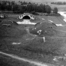
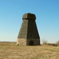
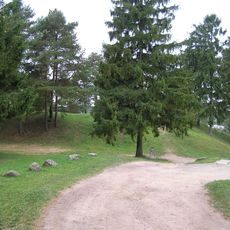
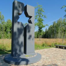
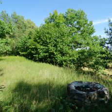
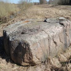
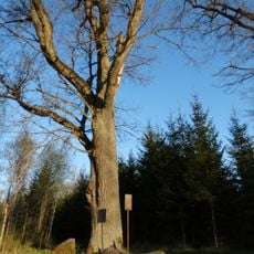
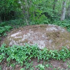
The area around the town contains ancient burial mounds called pilkaikai, dating back to very early times and telling stories of the first inhabitants. These archaeological sites are connected to local legends and make the surrounding landscape a special destination for walkers.
The community of curious travelers
AroundUs brings together thousands of curated places, local tips, and hidden gems, enriched daily by 60,000 contributors worldwide.