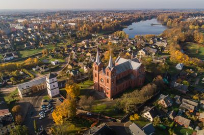
Plungė, city in Lithuania
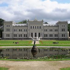
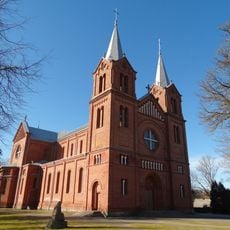
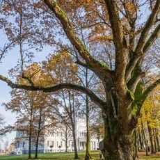
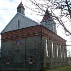
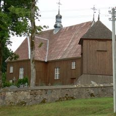
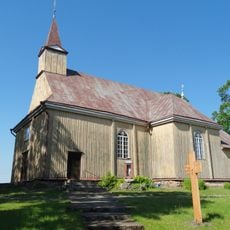
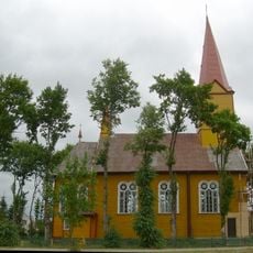
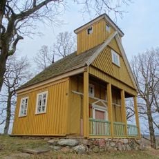
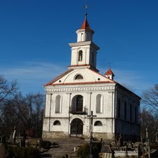
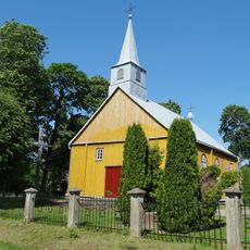
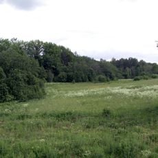
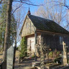
Plungė is a small town in northwestern Lithuania, in the Žemaitija region, where history and present day blend together. The settlement features a historic manor house, several churches with stone and wood architecture, a river that winds through the area, military heritage sites, and parks with mature trees that frame the quiet streets.
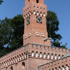
Plungė developed as a manor center under the Oginski princes in the 19th century, when the main palace and surrounding estate took their current form. Later, the town served military purposes and gradually became a cultural hub where local writers and historical figures left their mark on the community.
The town's name originates from ancient Lithuanian roots and reflects the region's cultural heritage. Residents actively maintain local traditions through markets, celebrations, and gatherings where you can see handmade goods and witness how community bonds shape daily life.
The town is small and easy to explore on foot, with no need for additional transport once you arrive. Spring and summer are the best seasons to visit, as parks and outdoor areas are most accessible and local markets operate regularly during these months.
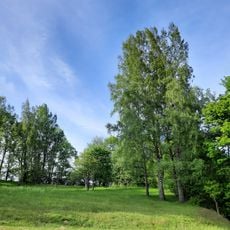
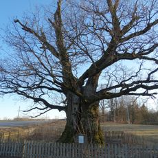
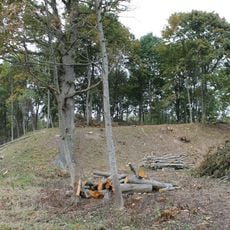
The area is known for an ancient oak tree nearby that is surrounded by local legends about witches and ancient rituals. Residents say this tree holds a special spiritual quality, and many visitors pause to experience the place with a sense of quiet reverence.
The community of curious travelers
AroundUs brings together thousands of curated places, local tips, and hidden gems, enriched daily by 60,000 contributors worldwide.