
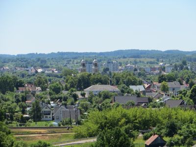
Vievis, town
Location: Elektrėnai Municipality
Elevation above the sea: 134 m
GPS coordinates: 54.77361,24.81639
Latest update: March 9, 2025 00:28
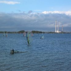
Elektrėnai Reservoir
9.3 km
Church of the Blessed Virgin Mary, Queen of Martyrs, Elektrėnai
8.7 km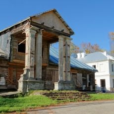
Abromiškėse mõis
6.6 km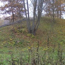
Karmazinai mound
8.9 kmKazokiškių sąvartynas
3.7 km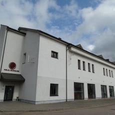
Lithuanian Road Museum
153 m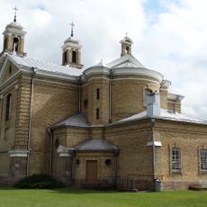
Church of St. Anne, Vievis
419 m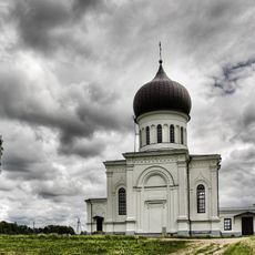
Orthodox church of the Dormition of the Theotokos in Vievis
693 m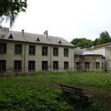
Paneriai manor
6.2 km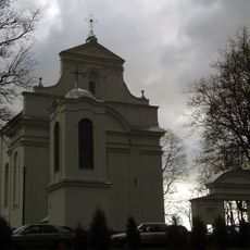
Church of the Blessed Virgin Mary of Victories, Kazokiškės
5 km
The Underground Information Center of Lithuanian Geological Survey
122 m
Pipiriškės hillfort
7.5 km
Airėnų konglomeratas
8.8 km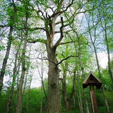
The sacred oak of Daubos
9.2 km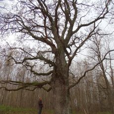
Alkai oak
8.7 km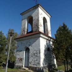
Chapel in Sabališkės
8.1 km
Bražuolės tufų atodanga
8.7 km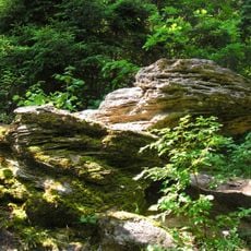
Ausiutiškės conglomerate
7.8 km
Grabijolų klevas
8.2 km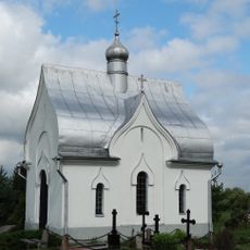
All Saints Orthodox chapel in Vievis
1.1 km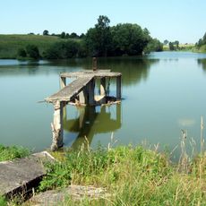
Vievio tvenkinys
1.5 km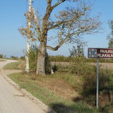
Paalkių piliakalnis
8.7 km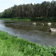
Verkšionių akmenys
7.6 km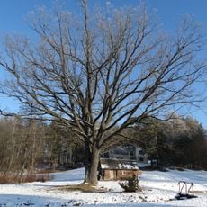
Giedraitiškių ąžuolas
6.3 km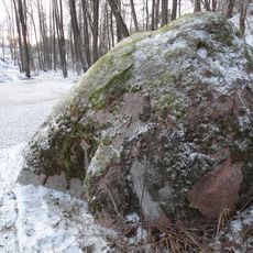
Bražuolės akmuo
7.9 km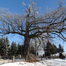
Streipūnai oak
5.9 km
Grabijolų pilkapynas
9.5 km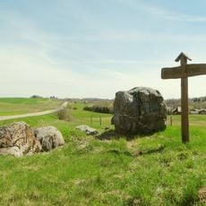
Belezai Stone
8.7 kmVisited this place? Tap the stars to rate it and share your experience / photos with the community! Try now! You can cancel it anytime.
Discover hidden gems everywhere you go!
From secret cafés to breathtaking viewpoints, skip the crowded tourist spots and find places that match your style. Our app makes it easy with voice search, smart filtering, route optimization, and insider tips from travelers worldwide. Download now for the complete mobile experience.

A unique approach to discovering new places❞
— Le Figaro
All the places worth exploring❞
— France Info
A tailor-made excursion in just a few clicks❞
— 20 Minutes