
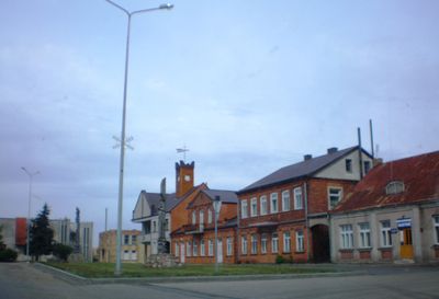
Krakės, human settlement in Lithuania
Location: Kėdainiai District Municipality
Elevation above the sea: 79 m
GPS coordinates: 55.40833,23.72500
Latest update: April 20, 2025 22:39
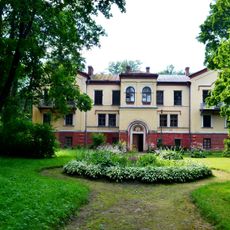
Dotnuva Manor
8.4 km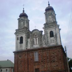
Church of the Annunciation in Dotnuva
11.5 km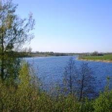
Vaitiekūnų tvenkinys
12.3 km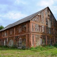
Pašušvys Manor
5.7 km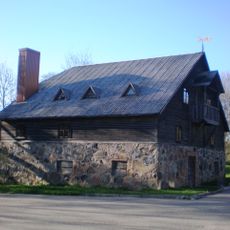
Bartkūniškis Manor
6.6 km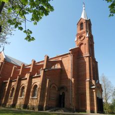
Church of St. Matthew, Krakės
183 m
St. Catherine monastery in Krakės
339 m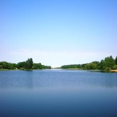
Akademija Reservoir
8 km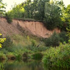
Vosbučiai outcrop
7.3 km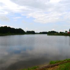
Vaidatonių tvenkinys
11.5 km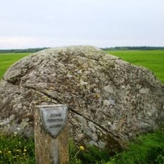
Siponių akmuo
5.4 km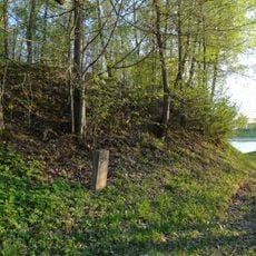
Naujaupis hillfort
9.9 km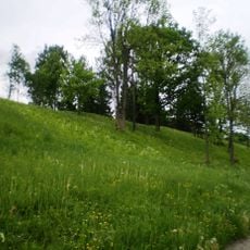
Plinkaigalis hillfort
5 km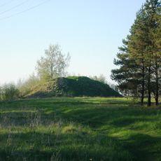
Vaitiekūnai hillfort
12.4 km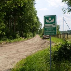
Smilga Landscape Reserve
11.3 km
Pajieslys Geomorphological Sanctuary
9.1 km
Church of the Blessed Virgin Mary, Comforter of the Afflicted, Pajieslys
7.4 km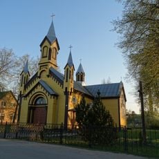
Church of the Sacred Heart of Jesus, Gudžiūnai
11.8 km
Ambraziūnai hillfort
7.3 km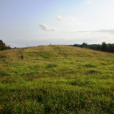
Pilsupiai hillfort
11.3 km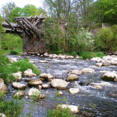
Pašušvis Landscape Reserve
5.6 km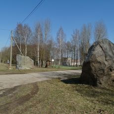
Meironiškių akmenys
3.6 km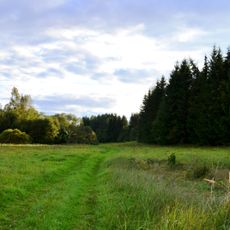
Vosbučiai Botanical-Zoological Reserve
7.1 km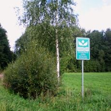
Zembiškis forest Botanical Reserve
10.9 km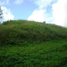
Vosbučiai hillfort
7.2 km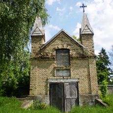
Chapel in Pilioniai
9.8 km
Ruseinių kapinynas
11.7 km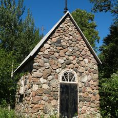
Lepšiškė chapel
11.9 kmReviews
Visited this place? Tap the stars to rate it and share your experience / photos with the community! Try now! You can cancel it anytime.
Discover hidden gems everywhere you go!
From secret cafés to breathtaking viewpoints, skip the crowded tourist spots and find places that match your style. Our app makes it easy with voice search, smart filtering, route optimization, and insider tips from travelers worldwide. Download now for the complete mobile experience.

A unique approach to discovering new places❞
— Le Figaro
All the places worth exploring❞
— France Info
A tailor-made excursion in just a few clicks❞
— 20 Minutes