Dieveniškės Historical Regional Park, Regional park in Šalčininkai District, Lithuania.
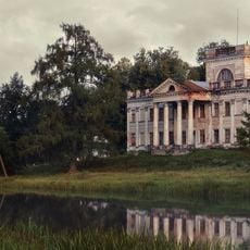
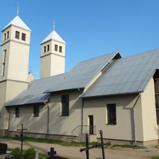
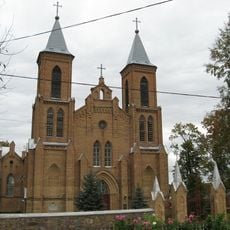
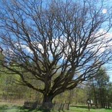
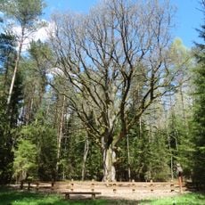
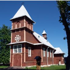
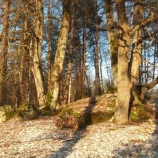
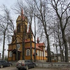
Dieveniškės Historical Regional Park is a large protected area in southern Lithuania that combines natural landscapes with archaeological sites and traditional settlements. The park features forests, river valleys, ancient burial grounds, and old oak trees scattered throughout its terrain.
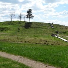
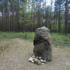
The area served as a burial ground for early inhabitants during the 5th and 6th centuries, with numerous mounds marking these ancient sites. In the 16th century, the region saw the planned construction of new villages that reshaped the landscape and settlement patterns.
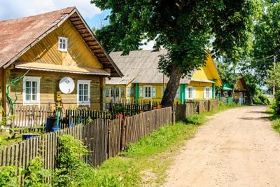
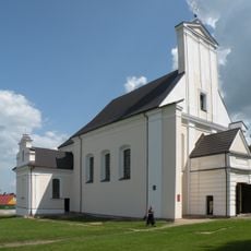
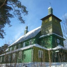
The villages in the park display their original 16th-century settlement layout, with houses still arranged according to the historic pattern that shaped the landscape. Walking through these communities shows how people once organized their homes around shared spaces and farmland.
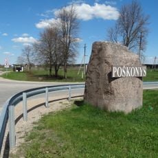
A visitor center in Poškoniai village provides information about trails and routes for exploring the park on foot or by bicycle. The area covers a large expanse of terrain, so comfortable footwear and weather protection are important for a good visit.
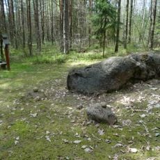
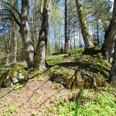
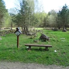
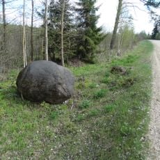
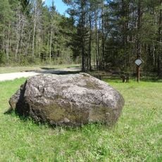
A curious arrangement of thousands of boulders forms a geometric pattern stretching across the landscape for a considerable distance. This configuration puzzles visitors and researchers alike, as its original purpose remains unclear.
The community of curious travelers
AroundUs brings together thousands of curated places, local tips, and hidden gems, enriched daily by 60,000 contributors worldwide.