
Šventybrastis, village in Lithuania
Location: Kėdainiai District Municipality
Elevation above the sea: 46 m
GPS coordinates: 55.42280,24.05280
Latest update: March 10, 2025 08:14
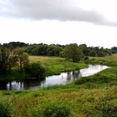
Krekenava Regional Park
8.6 km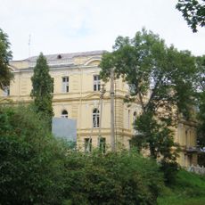
Apytalaukis Manor
10.3 km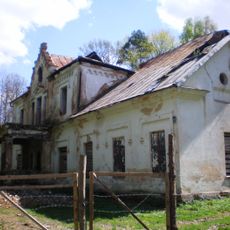
Kalnaberžė Manor
4.4 km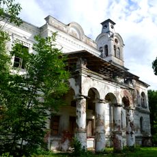
Sirutiškis Manor
8.8 km
Lančiūnava Manor
10.4 km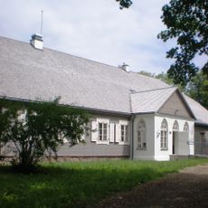
Paberžė manor
10.7 km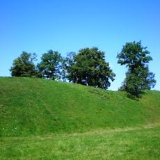
Bakainiai hillfort
5.1 km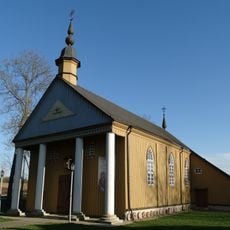
Church of the Visitation, Paberžė
10.6 km
Šlapaberžė Manor
8.1 km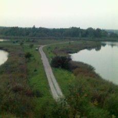
Babėnai Lake
10.5 km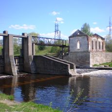
Kruosto hidroelektrinės tvenkinys
6.7 km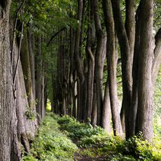
Daniliškio liepų alėja
6.8 km
Kalnaberžė hillfort
3.5 km
Church of St. Peter and St. Paul, Apytalaukis
10.8 km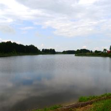
Vaidatonių tvenkinys
10 km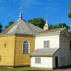
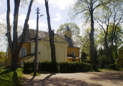
Church of the transfiguration of Jesus Christ, Šventybrastis
235 m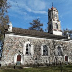
Church of St. Casimir, Lančiūnava
10.3 km
Pašilėliai Botanical-Zoological Reserve
10.5 km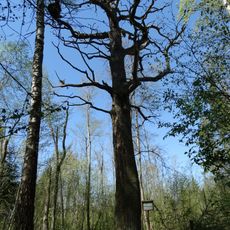
Lančiūnava Oak
10.9 km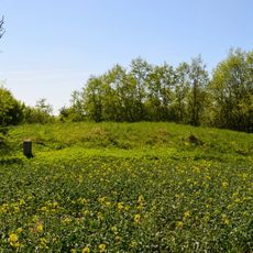
Vaidatoniai hillfort
7.6 km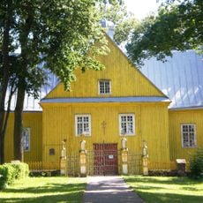
Church of Crucified Jesus, Surviliškis
3 km
Kruostas Botanical Reserve
7.3 km
Šventybrastis Landscape Reserve
343 m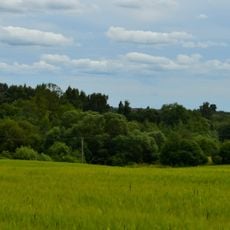
Lomeikiškiai hillfort
5.8 km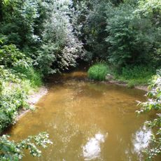
Paberžė Landscape Reserve
10.7 km
Šlapaberžė church
8.1 km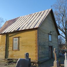
Chapel in Surviliškis
2.8 km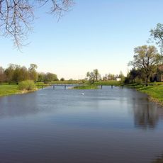
Tiskūnų tvenkinys
8.6 kmReviews
Visited this place? Tap the stars to rate it and share your experience / photos with the community! Try now! You can cancel it anytime.
Discover hidden gems everywhere you go!
From secret cafés to breathtaking viewpoints, skip the crowded tourist spots and find places that match your style. Our app makes it easy with voice search, smart filtering, route optimization, and insider tips from travelers worldwide. Download now for the complete mobile experience.

A unique approach to discovering new places❞
— Le Figaro
All the places worth exploring❞
— France Info
A tailor-made excursion in just a few clicks❞
— 20 Minutes