Marijampolė, Industrial center in southern Lithuania
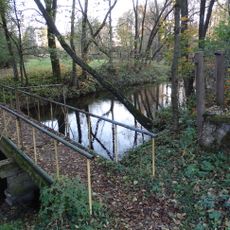
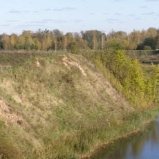
Marijampolė is an industrial city in southern Lithuania situated on both sides of the Šešupė River. Six bridges connect the separate neighborhoods and allow movement across the waterway throughout the urban area.
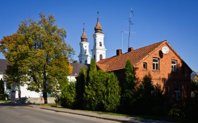
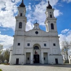
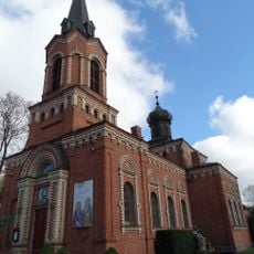
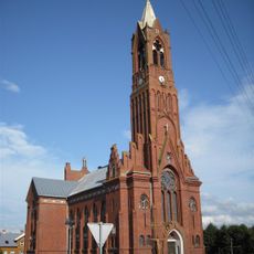
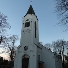
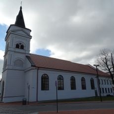
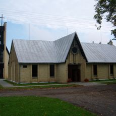
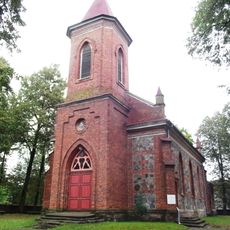
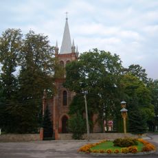
The settlement began in 1667 as Pašešupė village and gained its present name in 1765 after a monastery was founded by Franciska Butler. This religious institution shaped the place's growth and attracted people who established a developing community here.
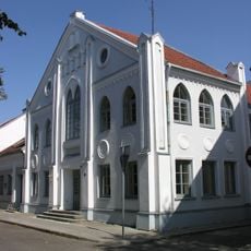
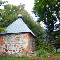
The regional museum displays local crafts and daily objects from the Suvalkija region's heritage. Visitors can observe traditional practices and customs that remain part of community life in this place.
The city sits on major transportation routes including Via Baltica and European route E28, offering direct access to Poland and the Kaliningrad region. With six river crossings within the urban area, getting around in all directions is straightforward.
During the Soviet period from 1955 to 1989, the city bore the name Kapsukas, reflecting the political control of that era. After regaining independence, it reverted to its former name, which is used in daily life today.
Location: Marijampolė Municipality
Inception: 1667
Elevation above the sea: 86 m
Website: http://marijampole.lt
GPS coordinates: 54.55667,23.35444
Latest update: December 20, 2025 12:20
Church of St. Michael the Archangel, Marijampolė
677 m
Church of Saint Vincent de Paul, Marijampolė
682 m
Church of the Holy Name of the Virgin Mary, Sasnava
12.5 km
Dovinė Park
7.4 km
Padovinys hillfort
7.8 km
Meškučiai 1st hillfort
1.8 km
Piliakalniai hillfort, Marijampolė
12.4 km
Pope John Paul II Parish Chapel, Marijampolė
1.8 km
Buktos dvaras
12.1 km
Church of St. Louis, Liudvinavas
8.1 km
Gižai manor
9.7 km
Evangelical Lutheran Church in Marijampolė
453 m
Marijampolė Synagogue
173 m
Church of the Nativity of the Virgin Mary, Keturvalakiai
12.2 km
Church of St. Mary Magdalene in Šunskai
9.6 km
Meškėnai lime
7.2 km
Orthodox church in Marijampolė
1.1 km
Church of St. Anthony of Padua, Gižai
10.1 km
Church of the Liberation of St. Peter, Patilčiai
11.4 km
Sukilėlių ąžuolas
2.8 km
Church of the Blessed Virgin Mary, Help of Christians, Skardupiai
10.2 km
Church of the Holy Cross, Patašinė
4.6 km
Meškučiai 2nd hillfort
1.9 km
Chapel in Lūginė
5.3 km
Netičkampio tvenkinys
7.9 kmTarašiškių piliakalnis
9.1 km
Keturvalakių koplyčia
12.2 km
Valavičių tvenkinys
12.4 kmVisited this place? Tap the stars to rate it and share your experience / photos with the community! Try now! You can cancel it anytime.
Discover hidden gems everywhere you go!
From secret cafés to breathtaking viewpoints, skip the crowded tourist spots and find places that match your style. Our app makes it easy with voice search, smart filtering, route optimization, and insider tips from travelers worldwide. Download now for the complete mobile experience.
A unique approach to discovering new places❞
— Le Figaro
All the places worth exploring❞
— France Info
A tailor-made excursion in just a few clicks❞
— 20 Minutes