
Klovainiai, human settlement in Lithuania
Location: Pakruojis District Municipality
Elevation above the sea: 58 m
GPS coordinates: 55.93333,23.95000
Latest update: April 1, 2025 00:24

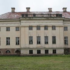
Pakruojis Manor
7.3 km
Jonava Arena
5.3 km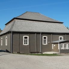
Synagogue of Pakruojis
8.1 km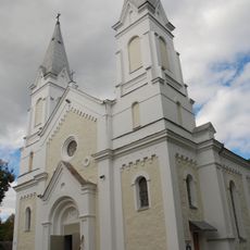
Church of St. John the Baptist, Pakruojis
8 km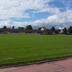
Pakruojis Stadium
7.6 km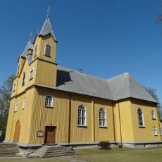
Church of the Holy Name of the Virgin Mary, Rozalimas
6.2 km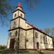
Church of the Holy Trinity, Klovainiai
1.9 km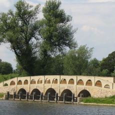
Pakruojo dvaro tiltas
7.8 km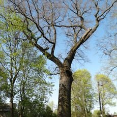
Klovainiai thick oak
1.8 km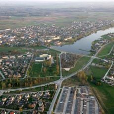
Pakruojo tvenkinys
8.7 km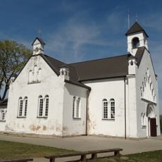
Church of St. Anthony of Padua, Pamūšis
11.3 km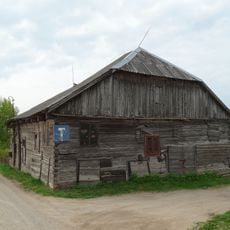
Synagoga w Rozalinie
6.3 km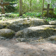
Zigmantiškiai stone
6.1 km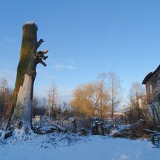
Klovainių ąžuolas
1.2 km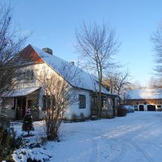
Klovainiai manor
1.2 km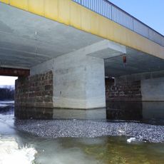
Petrašiūnų bridge
10.5 km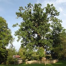
Rozalimo ąžuolas
5.6 km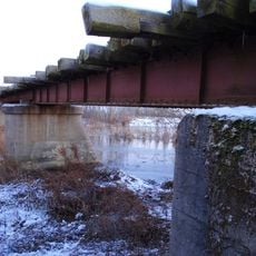
Eisenbahnbrücke Rimšoniai
10.2 km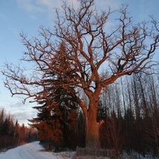
Girelės ąžuolas
13.4 km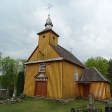
Rozalimas cemetery chapel
6.1 km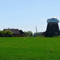
Bačiūnai windmill
11.7 km
Synagogue of Rozalimas
6.4 km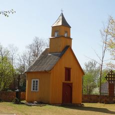
Rozalimas churchyard chapel
6.2 km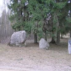
Naurašilių akmenys
13.2 km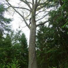
Šilų ąžuolas
8.6 km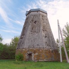
Sigutėnai windmill
8.8 km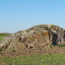
Gaidžiakalnio akmuo
8.7 km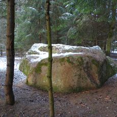
Kundročių akmuo
9.7 kmReviews
Visited this place? Tap the stars to rate it and share your experience / photos with the community! Try now! You can cancel it anytime.
Discover hidden gems everywhere you go!
From secret cafés to breathtaking viewpoints, skip the crowded tourist spots and find places that match your style. Our app makes it easy with voice search, smart filtering, route optimization, and insider tips from travelers worldwide. Download now for the complete mobile experience.

A unique approach to discovering new places❞
— Le Figaro
All the places worth exploring❞
— France Info
A tailor-made excursion in just a few clicks❞
— 20 Minutes