
Marcinkonys, village in Lithuania
Location: Varėna District Municipality
Elevation above the sea: 118 m
GPS coordinates: 54.06111,24.40000
Latest update: March 16, 2025 14:43
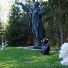
Grūtas Park
21.4 km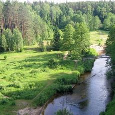
Dzūkija National Park
2.8 km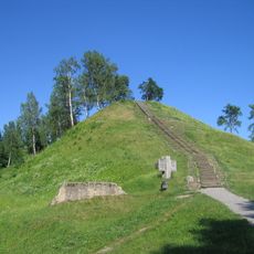
Merkinė hillfort
17.8 km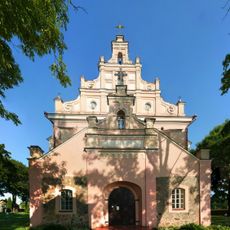
Church of the Assumption, Merkinė
18 km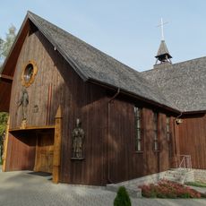
Full House community chapel, Panara
20.1 km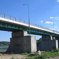
Merkinė bridge
17.9 km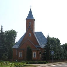
Church of St. Michael the Archangel, Varėna
20 km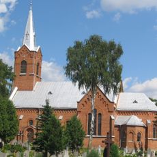
Church of the Blessed Virgin Mary and St. Francis of Assisi, Perloja
17.1 km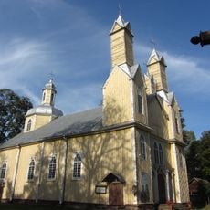
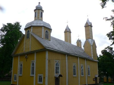
Church of St. Simon and St. Jude Thaddeus the Apostles, Marcinkonys
1.3 km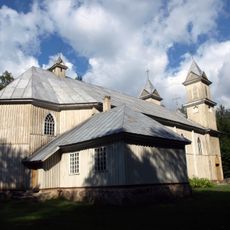
Church of the Blessed Virgin Mary of Perpetual Help, Rudnia
17.4 km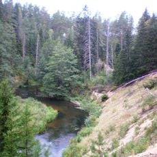
Mančiagirės skardžiai
7.5 km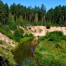
Ula Landscape Reserve
14 km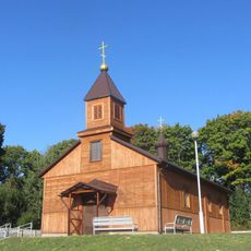
Saint Paraskeva of Serbia church in Bieršty
22.3 km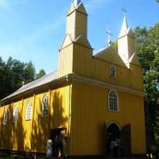
Church of the Assumption, Kabeliai
13.9 km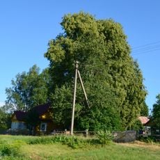
Lietuvio liepa
10.1 km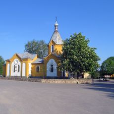
Orthodox church in Merkinė
18 km
Zervynų ąžuolas
8.5 km
Varėnos Pirmosios tvenkinys
21.5 km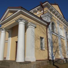
Church of the Holy Trinity, Nedzingė
21.2 km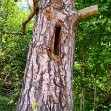
Zervynos village hollow pines
8 km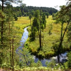
Grūda Hydrographical Reserve
4.8 km
Maksimonių gyvenvietė
22.3 km
Dvarčių piliakalnis
21.9 km
Rudnios stovyklavietės
15.8 km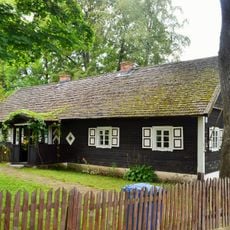
Subartonys Landscape Reserve
21.5 km
Zervynų senovės gyvenvietė
8.2 km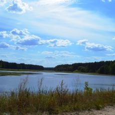
Grybaulios tvenkinys
7.9 km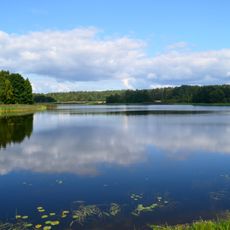
Masališkių tvenkinys
20.4 kmReviews
Visited this place? Tap the stars to rate it and share your experience / photos with the community! Try now! You can cancel it anytime.
Discover hidden gems everywhere you go!
From secret cafés to breathtaking viewpoints, skip the crowded tourist spots and find places that match your style. Our app makes it easy with voice search, smart filtering, route optimization, and insider tips from travelers worldwide. Download now for the complete mobile experience.

A unique approach to discovering new places❞
— Le Figaro
All the places worth exploring❞
— France Info
A tailor-made excursion in just a few clicks❞
— 20 Minutes