
Nemunaitis, town in Dzūkija, Lithuania
Location: Alytus District Municipality
Elevation above the sea: 90 m
GPS coordinates: 54.30000,24.02778
Latest update: April 4, 2025 22:02
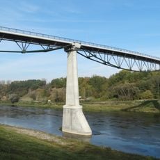
White Rose Bridge
11 km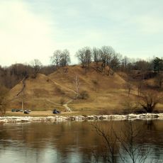
Alytus hillfort
11.3 km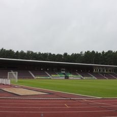
Alytus Stadium
10.4 km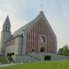
Church of the Blessed Virgin Mary, Help of Christians, Alytus
11.2 km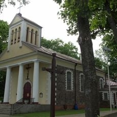
Church of St. Louis, Alytus
11.8 km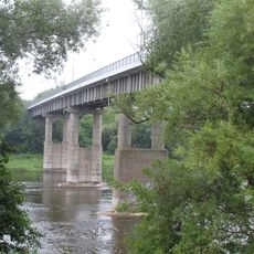
Antano Juozapavičiaus Bridge
11.4 km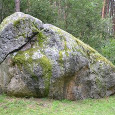
The great boulder of Dzukija
3.1 km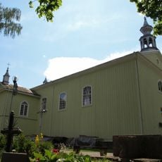
Church of the Holy Guardian Angels, Alytus
11.1 km
Noriūnai forest spruce
3.3 km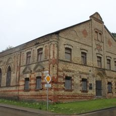
Alytus Synagogue
11.3 km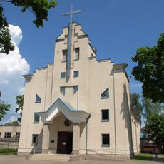
Church of St. Casimir, Alytus
9.5 km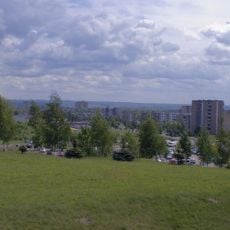
Dainava
11.4 km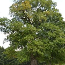
The old elm of Geisciunai
3.7 km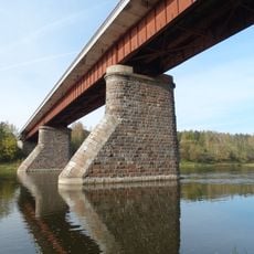
Kaniūkai bridge
8.6 km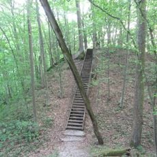
Radžiūnai hillfort
8.4 km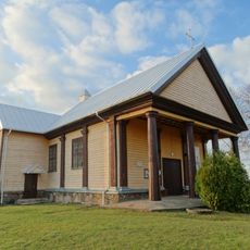
Church of the Holy Trinity, Alovė
10.9 km
The old Kaunas apple tree
3.7 km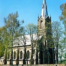
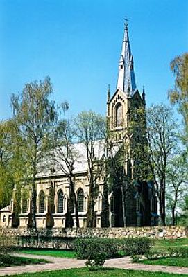
Church of the Nativity of the Virgin Mary, Nemunaitis
611 m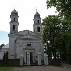
Church of the Holy Trinity, Miroslavas
9.3 km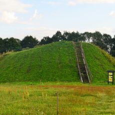
Poteronys hillfort
10.2 kmBalkasodžio gyvenvietė
4.2 kmOlakalnis
9 km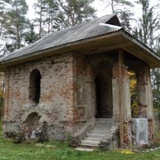
Chapel in Balkasodis
5.3 km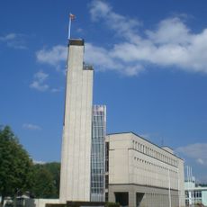
Rathaus Alytus
10.8 km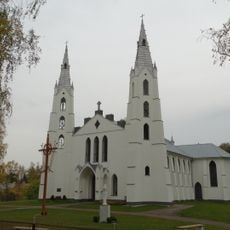
Church of the transfiguration of Jesus Christ in Krikštonys
11.6 km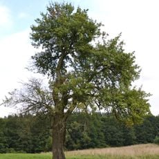
Senoji kriaušė
3.7 km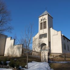
Church of St. Monica, Ryliškiai
9.1 kmŽilvės piliakalnis
4.8 kmVisited this place? Tap the stars to rate it and share your experience / photos with the community! Try now! You can cancel it anytime.
Discover hidden gems everywhere you go!
From secret cafés to breathtaking viewpoints, skip the crowded tourist spots and find places that match your style. Our app makes it easy with voice search, smart filtering, route optimization, and insider tips from travelers worldwide. Download now for the complete mobile experience.

A unique approach to discovering new places❞
— Le Figaro
All the places worth exploring❞
— France Info
A tailor-made excursion in just a few clicks❞
— 20 Minutes