
Daubenai Landscape Reserve
Location: Vilnius District Municipality
GPS coordinates: 54.58000,25.45639
Latest update: April 5, 2025 20:27
Aukštojas Hill
12.4 km
Nemėžis Manor
8.5 km
Aukštasis Pavilnys
12.1 km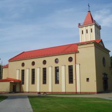
Church of the Blessed Virgin Mary, Queen of Peace, Naujoji Vilnia
12 km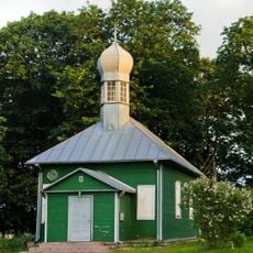
Mosque in Nemėžis
8.9 km
Žemasis Pavilnys
12.8 km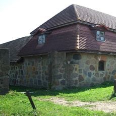
Peteša Manor
7.2 km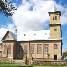
Church of Our Lady of Good Counsel, Rudamina
7.1 km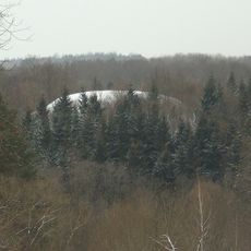
Rokantiškės hillfort
12.1 km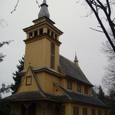
Pavilnys church
12.2 km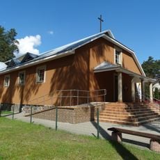
Blessed Michał Sopoćko church in Juodšiliai
12.7 km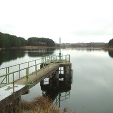
Kūlių tvenkinys
6.4 km
Markučiai Landscape Reserve
12.8 km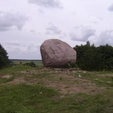
Juozapine Geomorphological Reserve
12.5 km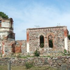
Orthodox church of the Transfiguration of Jesus Christ in Rudamina
6.5 km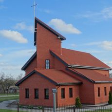
Saint Raphael Kalinowski church in Nemėžis
9.1 km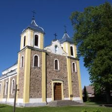
Church of St. Michael the Archangel, Rukainiai
5 km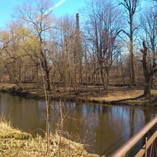
Naujoji Vilnia Park
12.7 km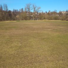
Naujoji Vilnia Old Stadium
12.8 km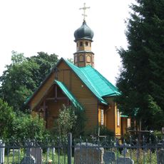
Saint Nicholas Orthodox church in Rudamina
6.3 km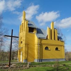
Chapel in Skaidiškės
5.8 km
Tuputiškiai Geomorphological Reserve
12.3 km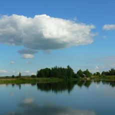
Kyviškių tvenkinys
10.5 km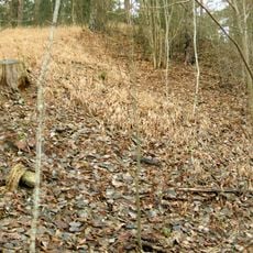
Mūrininkai Mound
6.3 km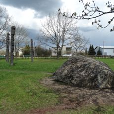
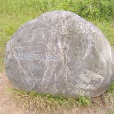
Marijampolio akmuo
10.1 km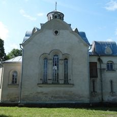
Chapel in Vėliučionys
8.9 km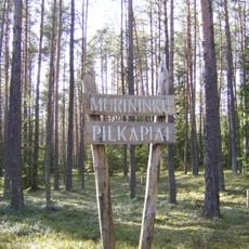
Mūrininkų pilkapiai
6.3 km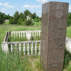
Paliepiukai geodetic marker
6 kmReviews
Visited this place? Tap the stars to rate it and share your experience / photos with the community! Try now! You can cancel it anytime.
Discover hidden gems everywhere you go!
From secret cafés to breathtaking viewpoints, skip the crowded tourist spots and find places that match your style. Our app makes it easy with voice search, smart filtering, route optimization, and insider tips from travelers worldwide. Download now for the complete mobile experience.

A unique approach to discovering new places❞
— Le Figaro
All the places worth exploring❞
— France Info
A tailor-made excursion in just a few clicks❞
— 20 Minutes