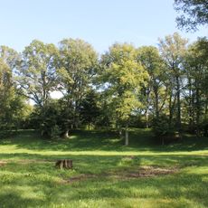
Klauseikių senovės gyvenvietė, archaeological site in Skuodas District Municipality, Lithuania
Location: Skuodas District Municipality
GPS coordinates: 56.27317,21.72353
Latest update: May 8, 2025 08:22
Apuolė hillfort
4.1 km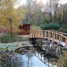
Navidanskas Park
5.9 km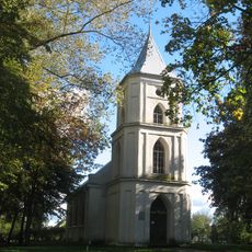
Evangelical Lutheran Church in Skuodas
11.9 km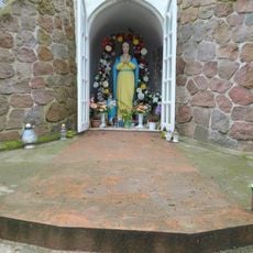
Lourdes Grotto, Užluobė
5.6 km
Church of the Annunciation, Ylakiai
8.3 km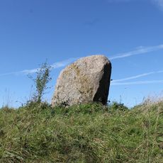
Apuolės akmuo
4.3 km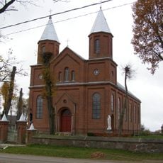
Church of St. John the Baptist, Šatės
11.8 km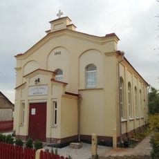
Baptist church in Ylakiai
7.8 km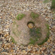
Erslos akmuo su dubeniu
8.3 km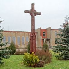
St. Ansgar Chapel, Kaukolikai
4.5 km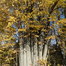
Paluobės daugiakamienė liepa
7.6 km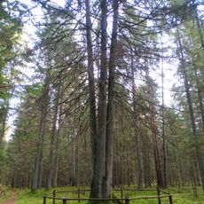
Laumių miško keturkamienė eglė
11.7 km
Chapel in Ylakiai
9.2 km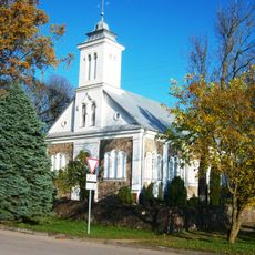
Church of Crucified Jesus, Aleksandrija
2.5 km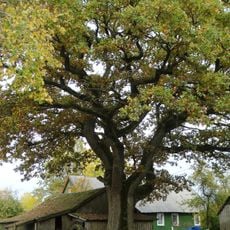
Kuokščio ąžuolas
1.4 km
Erslos piliakalnis
8.1 km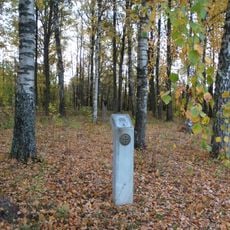
Jedžiotai hillfort
3.1 km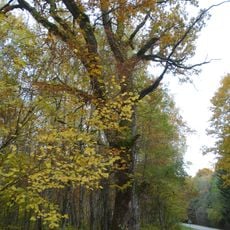
Žukausko ąžuolas
5.6 km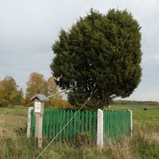
Klauseikių kadagys
2.5 km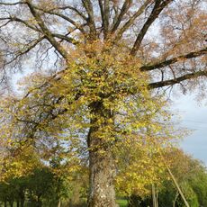
Gurecko liepa
1.5 km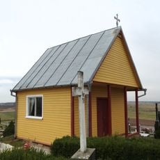
Šatės cemetery chapel
12 km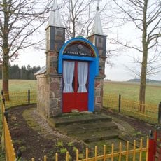
Chapel of Saint Mary the Virgin, Narvydžiai
8.9 km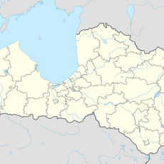
Gramzdas I pilskalns
11.9 km
Aizvīķu pilskalns
7 km
Mediškių ąžuolas
698 m
Gramzdas pilskalns
11.9 km
Diždāmes pilskalns
7.5 km
St. Aloysius Chapel, Ersla
8.2 kmReviews
Visited this place? Tap the stars to rate it and share your experience / photos with the community! Try now! You can cancel it anytime.
Discover hidden gems everywhere you go!
From secret cafés to breathtaking viewpoints, skip the crowded tourist spots and find places that match your style. Our app makes it easy with voice search, smart filtering, route optimization, and insider tips from travelers worldwide. Download now for the complete mobile experience.

A unique approach to discovering new places❞
— Le Figaro
All the places worth exploring❞
— France Info
A tailor-made excursion in just a few clicks❞
— 20 Minutes